|
search place name
|
||
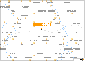
Nomécourt (Champagne-Ardenne, France)Nomécourt is a town in the Champagne-Ardenne region of France. An overview map of the region around Nomécourt is displayed below.
regional and 3d topo map of Nomécourt, France ::
Nomécourt airports ::
The nearest airport is EPL - Epinal Mirecourt, located 75.3 km east of Nomécourt.
Other airports nearby include QYR - Troyes Barberey (78.8 km west), ENC - Nancy Essey (90.6 km east), MZM - Metz Frescaty (105.7 km north east), ETZ - Metz Nancy Lorraine (106.4 km north east), Nearby towns ::
Lafolie (2.2km south east) //
Ferrière-et-Lafolie (3.9km south) //
Guindrecourt-aux-Ormes (3.1km north west) //
Sommermont (4.4km north east) //
Fays (4.4km north west) //
Blécourt (5.7km south) //
Brachay (6.1km south west) //
Maizières (7.4km north) //
Morancourt (4.9km west) //
Rupt (5.3km east) //
Flammerécourt (7.5km south) //
Joinville (5.3km east) //
Chatonrupt (6.7km north east) //
Autigny-le-Grand (6.2km north east) //
Sommancourt (7.8km north) //
Autigny-le-Petit (7.4km north east) //
Valleret (7.4km north west) //
Breuil-sur-Marne (8.3km north east) //
Charmes-en-lʼAngle (8.9km south west) //
Curel (8.9km north east) //
[all distances 'as the bird flies' and approximate] 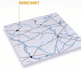 Places with similar names to Nomécourt, France ::
// Namak Rūd (IR)
Disclaimer :: Information on this page comes without warranty of any kind |
||
|
Where is Nomécourt? Elevation and coordinates ::
Latitude (lat): 48°26'0"N Longitude (lon): 5°4'0"E
Elevation (approx.): 306m (map arrows pan, magnifying glasses zoom) |
||
|
Visiting Nomécourt? Hotel/Accommodation ::
Book a hotel in Nomécourt Travel Guide ::
Buy a travel guide for France rental cars ::
car rental offers GPS waypoint ::
download a GPX waypoint (PoI) of Nomécourt for your GPS receiver
|
||