|
search place name
|
||
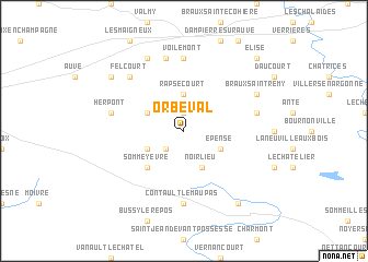
Orbéval (Champagne-Ardenne, France)Orbéval is a town in the Champagne-Ardenne region of France. An overview map of the region around Orbéval is displayed below.
regional and 3d topo map of Orbéval, France ::
Orbéval airports ::
The nearest airport is RHE - Reims Champagne, located 65.7 km north west of Orbéval.
Other airports nearby include QYR - Troyes Barberey (93.5 km south west), MZM - Metz Frescaty (97.9 km east), ETZ - Metz Nancy Lorraine (106.2 km east), ENC - Nancy Essey (109.9 km east), Nearby towns ::
Dampierre-le-Château (1.9km north) //
Varimont (2.2km south west) //
Rapsécourt (3.7km north) //
Dommartin-sur-Yèvre (3.1km south west) //
Épense (3.1km south east) //
Noirlieu (3.9km south) //
Herpine (3.1km north west) //
Somme-Yèvre (4.4km south west) //
Contault-le-Maupas (7.4km south) //
Voilemont (7.4km north) //
Gizaucourt (7.5km north) //
Herpont (5.2km west) //
Sivry-sur-Ante (5.2km east) //
Felcourt (6.6km north west) //
La Chapelle-Felcourt (7.8km north) //
Braux-Saint-Rémy (6.1km north east) //
Saint-Mard-sur-le-Mont (8.3km south east) //
Saint-Mard-sur-Auve (7.4km north west) //
Élise (8.9km north east) //
[all distances 'as the bird flies' and approximate] 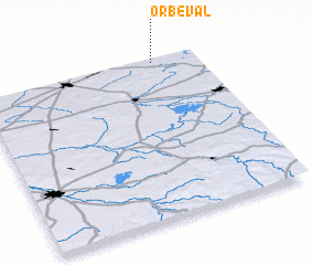 Places with similar names to Orbéval, France :: Disclaimer :: Information on this page comes without warranty of any kind |
||
|
Where is Orbéval? Elevation and coordinates ::
Latitude (lat): 48°59'0"N Longitude (lon): 4°48'0"E
Elevation (approx.): 185m (map arrows pan, magnifying glasses zoom) |
||
|
Visiting Orbéval? Hotel/Accommodation ::
Book a hotel in Orbéval Travel Guide ::
Buy a travel guide for France rental cars ::
car rental offers GPS waypoint ::
download a GPX waypoint (PoI) of Orbéval for your GPS receiver
|
||