|
search place name
|
||
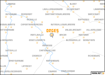
Orges (Champagne-Ardenne, France)Orges is a town in the Champagne-Ardenne region of France. An overview map of the region around Orges is displayed below.
regional and 3d topo map of Orges, France ::
Orges airports ::
The nearest airport is QYR - Troyes Barberey, located 73.1 km west of Orges.
Other airports nearby include EPL - Epinal Mirecourt (88.7 km east), DIJ - Dijon Longvic (91.3 km south), AUF - Auxerre Branches (110.3 km west), ENC - Nancy Essey (117.5 km north east), Nearby towns ::
Braux-le-Châtel (2.2km north east) //
Bricon (2.5km east) //
Marmesse (3.9km south) //
La Forge (3.9km south) //
Aizanville (3.1km north west) //
Autreville-sur-la-Renne (4.5km north east) //
Pont-la-Ville (3.7km west) //
Châteauvillain (5.7km south) //
Essey-les-Ponts (4.2km south west) //
Vaudrémont (6.1km north west) //
Blessonville (5.3km east) //
Saint-Martin-sur-la-Renne (7.5km north) //
Valdelancourt (5.3km east) //
Cirfontaines-en-Azois (6.2km north west) //
Créancey (8.3km south west) //
Irceville (7.4km north west) //
Maranville (7.4km north west) //
[all distances 'as the bird flies' and approximate] 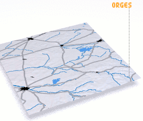 Places with similar names to Orges, France ::
Disclaimer :: Information on this page comes without warranty of any kind |
||
|
Where is Orges? Elevation and coordinates ::
Latitude (lat): 48°5'0"N Longitude (lon): 4°56'0"E
Elevation (approx.): 250m (map arrows pan, magnifying glasses zoom) |
||
|
Visiting Orges? Hotel/Accommodation ::
Book a hotel in Orges Travel Guide ::
Buy a travel guide for France rental cars ::
car rental offers GPS waypoint ::
download a GPX waypoint (PoI) of Orges for your GPS receiver
|
||