|
search place name
|
||
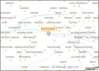
Pernant (Picardie, France)Pernant is a town in the Picardie region of France. An overview map of the region around Pernant is displayed below.
regional and 3d topo map of Pernant, France ::
Pernant airports ::
The nearest airport is CSF - Creil, located 53.9 km west of Pernant.
Other airports nearby include RHE - Reims Champagne (59.9 km east), CDG - Paris Charles De Gaulle (64.6 km south west), LBG - Paris Le Bourget (73.8 km south west), BVA - Beauvais Tille (81.7 km west), Nearby towns ::
Saconin-et-Breuil (2.2km south east) //
Osly-Courtil (2.2km north west) //
Pommiers (3.0km north east) //
Cuisy-en-Almont (3.9km north) //
Fontenoy (4.4km north west) //
Mercin-et-Vaux (3.6km east) //
Ambleny (3.6km west) //
Tartiers (5.6km north) //
Dommiers (5.7km south) //
Missy-aux-Bois (5.7km south) //
Cutry (5.2km south west) //
Nouvron-Vingré (6.1km north west) //
Vauxrezis (5.2km north east) //
Saint-Bandry (5.2km west) //
Vauxbuin (5.2km east) //
Pasly (5.2km east) //
Laversine (6.1km south west) //
Chaudun (7.8km south) //
Bieuxy (7.8km north) //
Saint-Pierre-Aigle (8.3km south west) //
Ploisy (7.4km south east) //
Chavigny (7.4km north east) //
Morsain (8.2km north west) //
[all distances 'as the bird flies' and approximate] 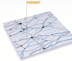 Places with similar names to Pernant, France :: Disclaimer :: Information on this page comes without warranty of any kind |
||
|
Where is Pernant? Elevation and coordinates ::
Latitude (lat): 49°23'0"N Longitude (lon): 3°14'0"E
Elevation (approx.): 53m (map arrows pan, magnifying glasses zoom) |
||
|
Visiting Pernant? Hotel/Accommodation ::
Book a hotel in Pernant Travel Guide ::
Buy a travel guide for France rental cars ::
car rental offers GPS waypoint ::
download a GPX waypoint (PoI) of Pernant for your GPS receiver
|
||