|
search place name
|
||
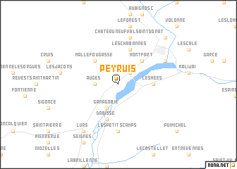
Peyruis (Provence-Alpes-Côte dʼAzur, France)Peyruis is a town in the Provence-Alpes-Côte dʼAzur region of France. An overview map of the region around Peyruis is displayed below.
regional and 3d topo map of Peyruis, France ::
Peyruis airports ::
The nearest airport is QXB - Aix-les-milles Aix Les Milles, located 74.2 km south west of Peyruis.
Other airports nearby include AVN - Avignon Caumont (83.9 km west), CTT - Le Castellet (87.6 km south), MRS - Marseille Provence (88.2 km south west), CEQ - Cannes Mandelieu (98.6 km south east), Nearby towns ::
Mardaric (2.3km north east) //
Augès (2.7km west) //
Ganagobie (3.9km south) //
Mallefougasse (4.6km north west) //
Montfort (4.6km north east) //
Les Mées (4.0km east) //
Dabisse (5.7km south) //
Les Chabannes (5.7km north) //
Les Petits Camps (7.4km south) //
Châteauneuf-Val-Saint-Donat (7.5km north) //
Saint-Auban (6.5km north east) //
Lurs (8.4km south west) //
Château-Arnoux (9.1km north east) //
[all distances 'as the bird flies' and approximate] 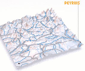 Places with similar names to Peyruis, France ::
Disclaimer :: Information on this page comes without warranty of any kind |
||
|
Where is Peyruis? Elevation and coordinates ::
Latitude (lat): 44°2'0"N Longitude (lon): 5°56'0"E
Elevation (approx.): 495m (map arrows pan, magnifying glasses zoom) |
||
|
Visiting Peyruis? Hotel/Accommodation ::
Book a hotel in Peyruis Travel Guide ::
Buy a travel guide for France rental cars ::
car rental offers GPS waypoint ::
download a GPX waypoint (PoI) of Peyruis for your GPS receiver
|
||