|
search place name
|
||
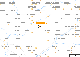
Plouracʼh (Bretagne, France)Plouracʼh is a town in the Bretagne region of France. An overview map of the region around Plouracʼh is displayed below.
regional and 3d topo map of Plouracʼh, France ::
Plouracʼh airports ::
The nearest airport is MXN - Morlaix Ploujean, located 28.6 km north west of Plouracʼh.
Other airports nearby include LAI - Lannion (38.0 km north), SBK - St.-brieuc Armor Armor (53.2 km east), BES - Brest Guipavas (64.4 km west), UIP - Quimper Pluguffan (67.2 km south west), Nearby towns ::
Kergus (2.2km north west) //
Hilvern (3.1km north west) //
Lestrédiec (3.1km south east) //
Kerderrien (3.1km south east) //
Coatrescar (3.1km south west) //
Bolazec (4.4km north west) //
Rospellem (4.1km south west) //
Lohuec (6.1km north east) //
Carnoët (6.1km south east) //
La Maison Blanche (6.1km north west) //
Les Avrégan (7.4km north) //
La Haye (5.3km east) //
Créacʼhniver (5.3km west) //
Hellés (5.3km west) //
Plusquellec (6.2km south east) //
Coatleau (7.4km south east) //
[all distances 'as the bird flies' and approximate] 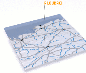 Places with similar names to Plouracʼh, France :: Disclaimer :: Information on this page comes without warranty of any kind |
||
|
Where is Plouracʼh? Elevation and coordinates ::
Latitude (lat): 48°25'0"N Longitude (lon): 3°33'0"W
Elevation (approx.): 220m (map arrows pan, magnifying glasses zoom) |
||
|
Visiting Plouracʼh? Hotel/Accommodation ::
Book a hotel in Plouracʼh Travel Guide ::
Buy a travel guide for France rental cars ::
car rental offers GPS waypoint ::
download a GPX waypoint (PoI) of Plouracʼh for your GPS receiver
|
||