|
search place name
|
||
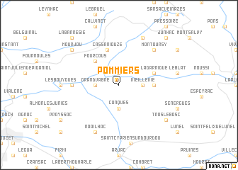
Pommiers (Midi-Pyrénées, France)Pommiers is a town in the Midi-Pyrénées region of France. An overview map of the region around Pommiers is displayed below.
regional and 3d topo map of Pommiers, France ::
Pommiers airports ::
The nearest airport is RDZ - Rodez Marcillac, located 25.9 km south of Pommiers.
Other airports nearby include AUR - Aurillac (28.7 km north), LBI - Albi Le Sequestre (83.2 km south), MEN - Mende Brenoux (91.2 km east), BVE - Brive La Roche (93.3 km north west), Nearby towns ::
Saint-Projet (1.9km north) //
Conques (3.7km south) //
Grand-Vabre (2.6km west) //
Vieillevie (2.6km east) //
Fourcous (4.5km north west) //
La Garde (4.0km east) //
La Garrigue (4.4km north east) //
Cassaniouze (5.7km north) //
Las Pelies (5.3km west) //
Montoursy (6.8km north east) //
Noailhac (7.9km south) //
Sénezergues (7.9km north) //
Tras-le-Bosc (7.7km south east) //
Mourjou (7.7km north west) //
La Barresie (9.1km north west) //
Junhac (9.1km north east) //
[all distances 'as the bird flies' and approximate] 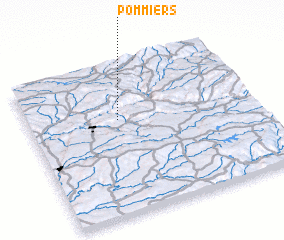 Places with similar names to Pommiers, France ::
Disclaimer :: Information on this page comes without warranty of any kind |
||
|
Where is Pommiers? Elevation and coordinates ::
Latitude (lat): 44°38'0"N Longitude (lon): 2°24'0"E
Elevation (approx.): 573m (map arrows pan, magnifying glasses zoom) |
||
|
Visiting Pommiers? Hotel/Accommodation ::
Book a hotel in Pommiers Travel Guide ::
Buy a travel guide for France rental cars ::
car rental offers GPS waypoint ::
download a GPX waypoint (PoI) of Pommiers for your GPS receiver
|
||