|
search place name
|
||
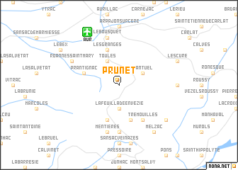
Prunet (Auvergne, France)Prunet is a town in the Auvergne region of France. An overview map of the region around Prunet is displayed below.
regional and 3d topo map of Prunet, France ::
Prunet airports ::
The nearest airport is AUR - Aurillac, located 9.0 km north west of Prunet.
Other airports nearby include RDZ - Rodez Marcillac (45.4 km south), BVE - Brive La Roche (87.0 km north west), MEN - Mende Brenoux (91.5 km east), LBI - Albi Le Sequestre (104.2 km south), Nearby towns ::
Lafeuillade-en-Vézie (3.7km south) //
Cantuel (3.2km north east) //
Toules (3.9km north) //
Le Peyrou (5.7km south) //
Prantignac (4.4km north west) //
La Capelle-del- Fraisse (5.7km south) //
Les Granges (5.7km north) //
Trémouilles (6.2km south east) //
La Case (7.4km south) //
Le Bousquet (7.5km north) //
Mentières (7.5km south) //
Roannes-Saint-Mary (6.4km north west) //
Leucamp (7.7km south east) //
Melzac (8.4km south east) //
Ladinhac (8.4km south east) //
[all distances 'as the bird flies' and approximate] 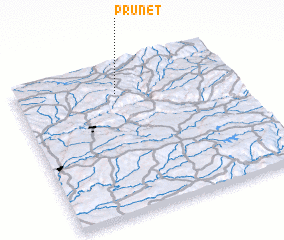 Places with similar names to Prunet, France ::
Disclaimer :: Information on this page comes without warranty of any kind |
||
|
Where is Prunet? Elevation and coordinates ::
Latitude (lat): 44°49'0"N Longitude (lon): 2°28'0"E
Elevation (approx.): 714m (map arrows pan, magnifying glasses zoom) |
||
|
Visiting Prunet? Hotel/Accommodation ::
Book a hotel in Prunet Travel Guide ::
Buy a travel guide for France rental cars ::
car rental offers GPS waypoint ::
download a GPX waypoint (PoI) of Prunet for your GPS receiver
|
||