|
search place name
|
||
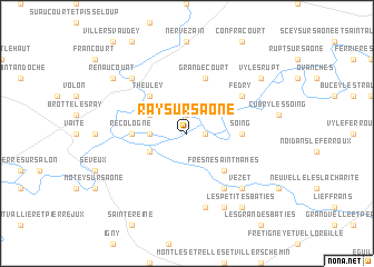
Ray-sur-Saône (Franche-Comté, France)Ray-sur-Saône is a town in the Franche-Comté region of France. An overview map of the region around Ray-sur-Saône is displayed below.
regional and 3d topo map of Ray-sur-Saône, France ::
Ray-sur-Saône airports ::
The nearest airport is DIJ - Dijon Longvic, located 66.1 km south west of Ray-sur-Saône.
Other airports nearby include DLE - Dole Tavaux (67.9 km south west), EPL - Epinal Mirecourt (84.3 km north), XCD - Chalon Champforgeuil (114.1 km south west), ENC - Nancy Essey (126.8 km north), Nearby towns ::
Charentenay (1.3km east) //
Vanne (1.9km north) //
Ferrières-lès-Ray (2.5km west) //
Vellexon-Queutey-et-Vaudey (3.1km south west) //
Tincey-et-Pontrebeau (3.1km north west) //
Fresne-Saint-Mamès (4.5km south east) //
Theuley (4.5km north west) //
Recologne (3.8km west) //
Soing (3.8km east) //
Grandecourt (5.7km north) //
Greucourt (6.1km south east) //
Fédry (5.3km north east) //
Saint-Gand (7.5km south) //
Lavoncourt (6.7km north west) //
Mont-Saint-Léger (6.7km north west) //
Vezet (6.7km south east) //
La Vernotte (7.8km south) //
Renaucourt (7.5km north west) //
Les Petites Bâties (8.3km south east) //
Vy-lès-Rupt (7.5km north east) //
[all distances 'as the bird flies' and approximate] 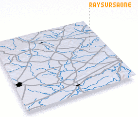 Places with similar names to Ray-sur-Saône, France :: Disclaimer :: Information on this page comes without warranty of any kind |
||
|
Where is Ray-sur-Saône? Elevation and coordinates ::
Latitude (lat): 47°35'0"N Longitude (lon): 5°50'0"E
Elevation (approx.): 196m (map arrows pan, magnifying glasses zoom) |
||
|
Visiting Ray-sur-Saône? Hotel/Accommodation ::
Book a hotel in Ray-sur-Saône Travel Guide ::
Buy a travel guide for France rental cars ::
car rental offers GPS waypoint ::
download a GPX waypoint (PoI) of Ray-sur-Saône for your GPS receiver
|
||