|
search place name
|
||
Rexpoëde (Nord-Pas-de-Calais, France)Rexpoëde is a town in the Nord-Pas-de-Calais region of France. An overview map of the region around Rexpoëde is displayed below.
regional and 3d topo map of Rexpoëde, France ::

Rexpoëde airports ::
The nearest airport is OST - Oostende, located 37.5 km north east of Rexpoëde.
Other airports nearby include CQF - Calais Dunkerque (40.8 km west), QKT - Kortrijk-vevelgem Wevelgem (49.0 km east), LIL - Lille Lesquin (57.0 km south east), LTQ - Le Tourquet Le Touquet Paris Plage (79.3 km south west), Nearby towns ::
West-Cappel (2.3km west) //
Wylder (3.0km south west) //
Bambecque (3.9km south) //
Killem (4.4km north east) //
Herzeele (5.6km south) //
Vifweg (4.0km north west) //
Killem-Linde (4.0km north east) //
Warhem (6.0km north west) //
Les Anguilles (6.0km north east) //
Haeghe-Meulen (5.1km north west) //
Quaëdypre (4.7km west) //
Oost-Cappel (5.0km east) //
Hondschoote (6.6km north east) //
Wormhout (7.3km south west) //
Klein Moertje (8.2km north east) //
Houtkerque (7.3km south east) //
[all distances 'as the bird flies' and approximate] 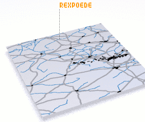 Places with similar names to Rexpoëde, France :: Disclaimer :: Information on this page comes without warranty of any kind |
||
|
Where is Rexpoëde? Elevation and coordinates ::
Latitude (lat): 50°56'0"N Longitude (lon): 2°32'0"E
Elevation (approx.): 20m (map arrows pan, magnifying glasses zoom) |
||
|
Visiting Rexpoëde? Hotel/Accommodation ::
Book a hotel in Rexpoëde Travel Guide ::
Buy a travel guide for France rental cars ::
car rental offers GPS waypoint ::
download a GPX waypoint (PoI) of Rexpoëde for your GPS receiver
|
||