|
search place name
|
||
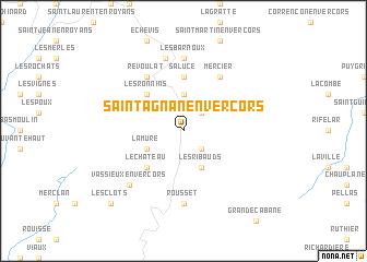
Saint-Agnan-en-Vercors (Rhône-Alpes, France)Saint-Agnan-en-Vercors is a town in the Rhône-Alpes region of France. An overview map of the region around Saint-Agnan-en-Vercors is displayed below.
regional and 3d topo map of Saint-Agnan-en-Vercors, France ::
Saint-Agnan-en-Vercors airports ::
The nearest airport is VAF - Valence Chabeuil, located 35.3 km west of Saint-Agnan-en-Vercors.
Other airports nearby include GNB - Grenoble Saint Geoirs (48.2 km north), CMF - Chambery Aix Les Bains (86.4 km north east), LYS - Lyon Saint Exupery (91.8 km north), OBS - Aubenas-vals-lanas Ardeche Meridionale (93.3 km south west), Nearby towns ::
Ruillars (2.3km south east) //
Les Chabottes (2.3km north east) //
La Chapelle-en-Vercors (3.7km north) //
Les Ribauds (3.9km south) //
Les Faures (3.9km south) //
La Mure (3.2km south west) //
Le Château (4.5km south west) //
Les Ronnins (4.5km north west) //
Saluce (5.6km north) //
Mercier (6.1km north east) //
Les Patins (6.1km north west) //
Revoulat (6.1km north west) //
Rousset (7.4km south) //
Les Barnoux (7.4km north) //
Les Baraques-en-Vercors (7.5km north) //
Vassieux-en-Vercors (6.8km south west) //
Les Clots (9.1km south west) //
[all distances 'as the bird flies' and approximate] 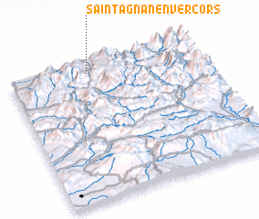 Places with similar names to Saint-Agnan-en-Vercors, France :: Disclaimer :: Information on this page comes without warranty of any kind |
||
|
Where is Saint-Agnan-en-Vercors? Elevation and coordinates ::
Latitude (lat): 44°56'0"N Longitude (lon): 5°25'0"E
Elevation (approx.): 1119m (map arrows pan, magnifying glasses zoom) |
||
|
Visiting Saint-Agnan-en-Vercors? Hotel/Accommodation ::
Book a hotel in Saint-Agnan-en-Vercors Travel Guide ::
Buy a travel guide for France rental cars ::
car rental offers GPS waypoint ::
download a GPX waypoint (PoI) of Saint-Agnan-en-Vercors for your GPS receiver
|
||