|
search place name
|
||
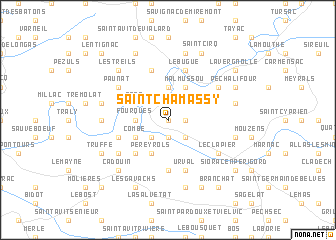
Saint-Chamassy (Aquitaine, France)Saint-Chamassy is a town in the Aquitaine region of France. An overview map of the region around Saint-Chamassy is displayed below.
regional and 3d topo map of Saint-Chamassy, France ::
Saint-Chamassy airports ::
The nearest airport is EGC - Bergerac Roumaniere, located 31.8 km west of Saint-Chamassy.
Other airports nearby include PGX - Perigueux Bassillac (37.7 km north), BVE - Brive La Roche (53.8 km north east), AGF - Agen La Garenne (81.1 km south), ANG - Angouleme Brie Champniers (110.3 km north west), Nearby towns ::
Pegauret (0.0km north) //
La Mélonie (1.3km east) //
Le Buisson (1.9km south) //
Audrix (2.3km north east) //
Limeuil (2.3km north west) //
Lanceplaine (2.3km south east) //
Bigaroque (2.3km south west) //
La Terrasse (3.7km north) //
Fourques (2.6km west) //
Malmussou (3.9km north) //
Sors (3.2km north west) //
Combe (3.2km south west) //
Pereyrols (3.9km south) //
Parisot (4.5km south west) //
Paleyrac (5.6km south) //
Le Bugue (5.7km north) //
Urval (5.7km south) //
Les Tiraux (5.7km north) //
Allès-sur-Dordogne (4.4km south west) //
Paunat (5.4km north west) //
Campagne (5.4km north east) //
Cussac (5.4km south west) //
Le Clapier (5.4km south east) //
Coux-et-Bigaroque (5.4km south east) //
Soulalève (5.3km west) //
La Garde (7.5km north) //
Flangeat (5.6km east) //
Meynard (5.6km east) //
Grèze (5.6km west) //
[all distances 'as the bird flies' and approximate]  Places with similar names to Saint-Chamassy, France ::
// Saint-Chamas (FR)
Disclaimer :: Information on this page comes without warranty of any kind |
||
|
Where is Saint-Chamassy? Elevation and coordinates ::
Latitude (lat): 44°52'0"N Longitude (lon): 0°55'0"W
Elevation (approx.): 121m (map arrows pan, magnifying glasses zoom) |
||
|
Visiting Saint-Chamassy? Hotel/Accommodation ::
Book a hotel in Saint-Chamassy Travel Guide ::
Buy a travel guide for France rental cars ::
car rental offers GPS waypoint ::
download a GPX waypoint (PoI) of Saint-Chamassy for your GPS receiver
|
||