|
search place name
|
||
Saint-Cirq (Aquitaine, France)Saint-Cirq is a town in the Aquitaine region of France. An overview map of the region around Saint-Cirq is displayed below.
regional and 3d topo map of Saint-Cirq, France ::

Saint-Cirq airports ::
The nearest airport is PGX - Perigueux Bassillac, located 31.3 km north of Saint-Cirq.
Other airports nearby include EGC - Bergerac Roumaniere (36.1 km west), BVE - Brive La Roche (47.5 km north east), AGF - Agen La Garenne (89.0 km south), LIG - Limoges Bellegarde (104.8 km north), Nearby towns ::
Les Plagnes (0.0km north) //
La Garde (1.3km west) //
Le Bugue (2.3km south west) //
Puyvendran (3.7km north) //
La Vergnolle (3.2km south east) //
Tayac (3.2km north east) //
Cause (3.2km north west) //
Malmussou (3.9km south) //
Campagne (3.9km south) //
Savignac-de-Miremont (3.9km north) //
Lussac (4.5km south east) //
Pechalifour (4.5km south east) //
La Terrasse (4.5km south west) //
Manaurie (4.5km north east) //
Les Tiraux (4.4km south west) //
Calais (5.7km north) //
Cumont (4.4km north west) //
Le Mas (4.4km north east) //
Audrix (5.7km south) //
Bourut (6.1km north east) //
Flangeat (6.1km south east) //
Journiac (5.4km north west) //
Lalage (5.4km north west) //
La Chapelle (7.4km north) //
Constant (5.2km west) //
La Mouthe (5.2km east) //
Les Eyzies-de-Tayac (5.2km east) //
La Mélonie (7.5km south) //
Le Vignal (5.6km west) //
[all distances 'as the bird flies' and approximate] 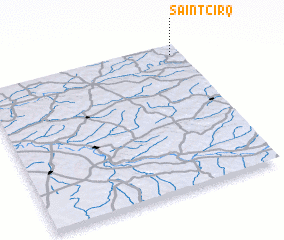 Places with similar names to Saint-Cirq, France ::
Disclaimer :: Information on this page comes without warranty of any kind |
||
|
Where is Saint-Cirq? Elevation and coordinates ::
Latitude (lat): 44°56'0"N Longitude (lon): 0°57'0"W
Elevation (approx.): 184m (map arrows pan, magnifying glasses zoom) |
||
|
Visiting Saint-Cirq? Hotel/Accommodation ::
Book a hotel in Saint-Cirq Travel Guide ::
Buy a travel guide for France rental cars ::
car rental offers GPS waypoint ::
download a GPX waypoint (PoI) of Saint-Cirq for your GPS receiver
|
||