|
search place name
|
||
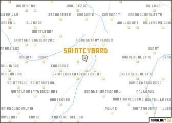
Saint-Cybard (Poitou-Charentes, France)Saint-Cybard is a town in the Poitou-Charentes region of France. An overview map of the region around Saint-Cybard is displayed below.
regional and 3d topo map of Saint-Cybard, France ::
Saint-Cybard airports ::
The nearest airport is ANG - Angouleme Brie Champniers, located 35.4 km north of Saint-Cybard.
Other airports nearby include CNG - Cognac Chateaubernard (44.3 km north west), PGX - Perigueux Bassillac (58.8 km south east), EGC - Bergerac Roumaniere (72.4 km south east), RYN - Royan Medis (89.5 km west), Nearby towns ::
Saint-Eutrope (1.3km west) //
Montmoreau (1.9km south) //
Saint-Amant (2.3km south east) //
Aignes-et-Puypéroux (3.9km north) //
Saint-Laurent-de-Belzagot (3.9km south) //
Chavenat (4.5km north east) //
Juignac (4.5km south east) //
Courgeac (4.3km south west) //
Pérignac (6.8km north west) //
Bors-de-Montmoreau (7.9km south) //
[all distances 'as the bird flies' and approximate] 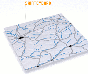 Places with similar names to Saint-Cybard, France ::
// Saint-Cibard (FR)
Disclaimer :: Information on this page comes without warranty of any kind |
||
|
Where is Saint-Cybard? Elevation and coordinates ::
Latitude (lat): 45°25'0"N Longitude (lon): 0°8'0"W
Elevation (approx.): 98m (map arrows pan, magnifying glasses zoom) |
||
|
Visiting Saint-Cybard? Hotel/Accommodation ::
Book a hotel in Saint-Cybard Travel Guide ::
Buy a travel guide for France rental cars ::
car rental offers GPS waypoint ::
download a GPX waypoint (PoI) of Saint-Cybard for your GPS receiver
|
||