|
search place name
|
||
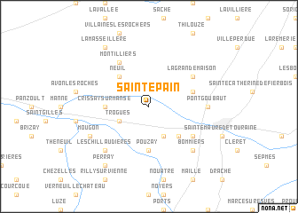
Saint-Épain (Centre, France)Saint-Épain is a town in the Centre region of France. An overview map of the region around Saint-Épain is displayed below.
regional and 3d topo map of Saint-Épain, France ::
Saint-Épain airports ::
The nearest airport is TUF - Tours Val De Loire, located 36.3 km north east of Saint-Épain.
Other airports nearby include PIS - Poitiers Biard (63.1 km south), LME - Le Mans Arnage (94.0 km north), CHR - Chateauroux Deols (95.9 km east), CET - Cholet Le Pontreau (107.2 km west), Nearby towns ::
Trogues (3.1km south west) //
Noyant-de-Touraine (3.9km south) //
Les Piraudières (4.5km south east) //
Neuil (4.5km north west) //
Pouzay (5.6km south) //
Crissay-sur-Manse (3.8km west) //
Le Haut Village (4.2km north east) //
La Cantinière (5.3km south east) //
Montilliers (6.1km north west) //
La Grande Maison (5.3km north east) //
Pont Goubaut (5.0km east) //
Les Chillaudières (6.7km south west) //
Bommiers (6.7km south east) //
Parçay-sur-Vienne (6.3km south west) //
Mougon (6.3km south west) //
Perray (8.3km south west) //
La Masseillère (8.3km north west) //
[all distances 'as the bird flies' and approximate] 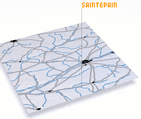 Places with similar names to Saint-Épain, France ::
Disclaimer :: Information on this page comes without warranty of any kind |
||
|
Where is Saint-Épain? Elevation and coordinates ::
Latitude (lat): 47°8'0"N Longitude (lon): 0°32'0"W
Elevation (approx.): 66m (map arrows pan, magnifying glasses zoom) |
||
|
Visiting Saint-Épain? Hotel/Accommodation ::
Book a hotel in Saint-Épain Travel Guide ::
Buy a travel guide for France rental cars ::
car rental offers GPS waypoint ::
download a GPX waypoint (PoI) of Saint-Épain for your GPS receiver
|
||