|
search place name
|
||
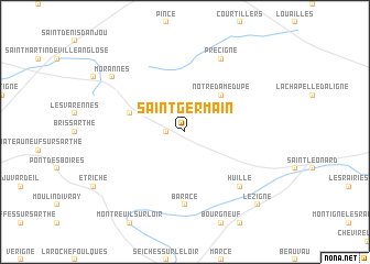
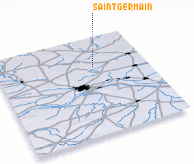
Saint-Germain (Pays de la Loire, France)Saint-Germain is a town in the Pays de la Loire region of France. An overview map of the region around Saint-Germain is displayed below.
regional and 3d topo map of Saint-Germain, France ::
Saint-Germain airports ::
The nearest airport is LVA - Laval Entrammes, located 47.1 km north west of Saint-Germain.
Other airports nearby include LME - Le Mans Arnage (49.7 km north east), CET - Cholet Le Pontreau (79.4 km south west), TUF - Tours Val De Loire (86.4 km east), RNS - Rennes St Jacques (111.4 km west), Nearby towns ::
 Places with similar names to Saint-Germain, France ::
// Saint-Germain (CH)
// Saint-Germain (TN)
// Santa Germania (MX)
// Saint-Germain (HT)
// Saint-Germain (HT)
// Saint-Germain (FR)
// Saint-Germain (FR)
// Saint-Germain (FR)
// Saint-Germain (FR)
// Saint-Germain (FR)
Disclaimer :: Information on this page comes without warranty of any kind |
||
|
Where is Saint-Germain? Elevation and coordinates ::
Latitude (lat): 47°42'0"N Longitude (lon): 0°21'0"W
Elevation (approx.): 52m (map arrows pan, magnifying glasses zoom) |
||
|
Visiting Saint-Germain? Hotel/Accommodation ::
Book a hotel in Saint-Germain Travel Guide ::
Buy a travel guide for France rental cars ::
car rental offers GPS waypoint ::
download a GPX waypoint (PoI) of Saint-Germain for your GPS receiver
|
||