|
search place name
|
||
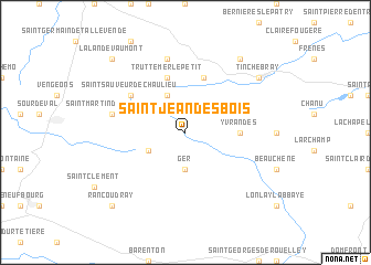
Saint-Jean-des-Bois (Basse-Normandie, France)Saint-Jean-des-Bois is a town in the Basse-Normandie region of France. An overview map of the region around Saint-Jean-des-Bois is displayed below.
regional and 3d topo map of Saint-Jean-des-Bois, France ::
Saint-Jean-des-Bois airports ::
The nearest airport is CFR - Caen Carpiquet, located 56.9 km north east of Saint-Jean-des-Bois.
Other airports nearby include LVA - Laval Entrammes (76.3 km south), DNR - Dinard Pleurtuit (95.4 km west), RNS - Rennes St Jacques (99.9 km south west), DOL - Deauville St Gatien (100.4 km north east), Nearby towns ::
Ger (3.7km south) //
Le Fresne-Poret (3.1km south west) //
Saint-Christophe-de-Chaulieu (3.9km north) //
Yvrandes (3.7km east) //
Truttemer-le-Petit (5.7km north) //
Le Ménil-Ciboult (5.7km north) //
Saint-Sauveur-de-Chaulieu (5.2km north west) //
Truttemer-le-Grand (7.5km north) //
Saint-Martin-de-Chaulieu (5.2km west) //
Saint-Quentin-les-Chardonnets (8.3km north east) //
Tinchebray (7.4km north east) //
La Lande-Vaumont (8.9km north west) //
Rancoudray (8.9km south west) //
[all distances 'as the bird flies' and approximate] 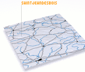 Places with similar names to Saint-Jean-des-Bois, France :: Disclaimer :: Information on this page comes without warranty of any kind |
||
|
Where is Saint-Jean-des-Bois? Elevation and coordinates ::
Latitude (lat): 48°43'0"N Longitude (lon): 0°48'0"W
Elevation (approx.): 250m (map arrows pan, magnifying glasses zoom) |
||
|
Visiting Saint-Jean-des-Bois? Hotel/Accommodation ::
Book a hotel in Saint-Jean-des-Bois Travel Guide ::
Buy a travel guide for France rental cars ::
car rental offers GPS waypoint ::
download a GPX waypoint (PoI) of Saint-Jean-des-Bois for your GPS receiver
|
||