|
search place name
|
||
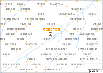
Samatan (Midi-Pyrénées, France)Samatan is a town in the Midi-Pyrénées region of France. An overview map of the region around Samatan is displayed below.
regional and 3d topo map of Samatan, France ::
Samatan airports ::
The nearest airport is LRH - La Rochelle Lherm, located 27.3 km east of Samatan.
Other airports nearby include TLS - Toulouse Blagnac (37.6 km north east), AGF - Agen La Garenne (79.9 km north), LDE - Tarbes Lourdes (84.2 km south west), LBI - Albi Le Sequestre (105.6 km north east), Nearby towns ::
Lombez (2.3km south west) //
Noilhan (3.7km north) //
Cazaux-Savès (4.6km north east) //
Puylausic (5.6km south) //
Labastide-Savès (4.4km north east) //
Bézéril (6.2km north west) //
Monblanc (5.5km south east) //
Sauvimont (6.2km south east) //
Nizas (5.4km east) //
Montadet (7.5km south) //
Montégut-Savès (7.5km south) //
Savignac-Mona (5.7km east) //
Sauveterre (6.5km south west) //
Lahas (7.9km north) //
Saint-André (7.7km north west) //
Saint-Loube-Amades (8.4km south east) //
Castillon-Savès (8.4km north east) //
[all distances 'as the bird flies' and approximate] 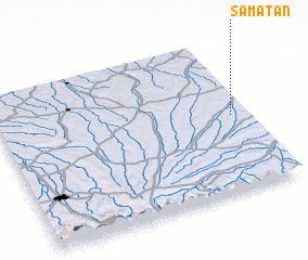 Places with similar names to Samatan, France ::
Disclaimer :: Information on this page comes without warranty of any kind |
||
|
Where is Samatan? Elevation and coordinates ::
Latitude (lat): 43°30'0"N Longitude (lon): 0°56'0"W
Elevation (approx.): 172m (map arrows pan, magnifying glasses zoom) |
||
|
Visiting Samatan? Hotel/Accommodation ::
Book a hotel in Samatan Travel Guide ::
Buy a travel guide for France rental cars ::
car rental offers GPS waypoint ::
download a GPX waypoint (PoI) of Samatan for your GPS receiver
|
||