|
search place name
|
||
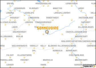
Sommevoire (Champagne-Ardenne, France)Sommevoire is a town in the Champagne-Ardenne region of France. An overview map of the region around Sommevoire is displayed below.
regional and 3d topo map of Sommevoire, France ::
Sommevoire airports ::
The nearest airport is QYR - Troyes Barberey, located 61.4 km west of Sommevoire.
Other airports nearby include EPL - Epinal Mirecourt (92.2 km east), ENC - Nancy Essey (107.6 km east), RHE - Reims Champagne (114.8 km north west), AUF - Auxerre Branches (117.7 km south west), Nearby towns ::
Rozières (1.2km west) //
La Forge (1.9km north) //
Thilleux (3.1km north west) //
Cour des Prunaux (3.9km north) //
Billory (3.9km north) //
Mertrud (3.7km east) //
Nully (5.7km south) //
Blumeray (5.7km south) //
Robert-Magny (5.7km north) //
La Varnière (6.7km north west) //
Trémilly (6.7km south west) //
La Bouverie (6.7km north west) //
La Grève (6.2km north west) //
Humbercin (7.8km south) //
Ceffonds (7.4km north west) //
Laneuville-à-Rémy (8.3km north east) //
Villiers-aux-Chênes (7.4km south east) //
Thil (8.3km south west) //
Montier-en-Der (8.9km north west) //
Les Malots (8.9km north west) //
[all distances 'as the bird flies' and approximate] 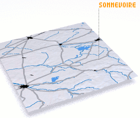 Places with similar names to Sommevoire, France ::
Disclaimer :: Information on this page comes without warranty of any kind |
||
|
Where is Sommevoire? Elevation and coordinates ::
Latitude (lat): 48°25'0"N Longitude (lon): 4°50'0"E
Elevation (approx.): 144m (map arrows pan, magnifying glasses zoom) |
||
|
Visiting Sommevoire? Hotel/Accommodation ::
Book a hotel in Sommevoire Travel Guide ::
Buy a travel guide for France rental cars ::
car rental offers GPS waypoint ::
download a GPX waypoint (PoI) of Sommevoire for your GPS receiver
|
||