|
search place name
|
||
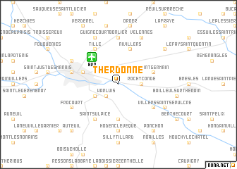
Therdonne (Picardie, France)Therdonne is a town in the Picardie region of France. An overview map of the region around Therdonne is displayed below.
regional and 3d topo map of Therdonne, France ::
Therdonne airports ::
The nearest airport is BVA - Beauvais Tille, located 5.0 km north west of Therdonne.
Other airports nearby include CSF - Creil (32.4 km south east), POX - Pontoise Cormeilles En Vexin (36.5 km south), CDG - Paris Charles De Gaulle (53.5 km south east), LBG - Paris Le Bourget (54.1 km south east), Nearby towns ::
Warluis (2.2km south west) //
Rochy-Condé (2.4km east) //
Allonne (3.0km south west) //
Abbecourt (5.6km south) //
Marissel (4.1km north west) //
Saint-Germain (4.1km north east) //
Laversines (4.1km north east) //
Nivillers (5.7km north) //
Tillé (6.1km north west) //
Saint-Sulpice (6.1km south west) //
Montreuil-sur-Thérain (5.2km south east) //
Bonlier (7.4km north) //
Hodenc-lʼEvêque (7.4km south) //
Beauvais (5.2km west) //
Guignecourt (7.8km north) //
Velennes (7.8km north) //
Notre-Dame-du-Thil (6.1km north west) //
Frocourt (6.1km south west) //
Villers-Saint-Sépulcre (6.1km south east) //
Fouquerolles (7.4km north east) //
Ponchon (8.2km south east) //
Auteuil (8.8km south west) //
[all distances 'as the bird flies' and approximate] 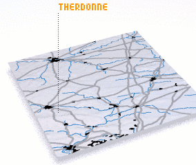 Places with similar names to Therdonne, France ::
Disclaimer :: Information on this page comes without warranty of any kind |
||
|
Where is Therdonne? Elevation and coordinates ::
Latitude (lat): 49°25'0"N Longitude (lon): 2°9'0"E
Elevation (approx.): 57m (map arrows pan, magnifying glasses zoom) |
||
|
Visiting Therdonne? Hotel/Accommodation ::
Book a hotel in Therdonne Travel Guide ::
Buy a travel guide for France rental cars ::
car rental offers GPS waypoint ::
download a GPX waypoint (PoI) of Therdonne for your GPS receiver
|
||