|
search place name
|
||
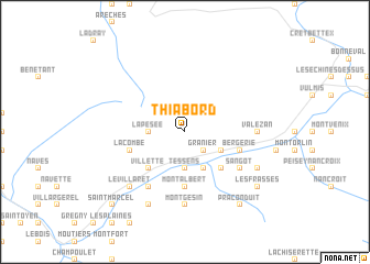
Thiabord (Rhône-Alpes, France)Thiabord is a town in the Rhône-Alpes region of France. An overview map of the region around Thiabord is displayed below.
regional and 3d topo map of Thiabord, France ::
Thiabord airports ::
The nearest airport is NCY - Annecy Meythet, located 56.6 km north west of Thiabord.
Other airports nearby include CMF - Chambery Aix Les Bains (59.1 km west), QNJ - Annemasse (73.3 km north west), GVA - Geneva Cointrin (83.4 km north west), SIR - Sion (88.9 km north east), Nearby towns ::
Granier (2.3km south east) //
La Pesée (2.6km west) //
Tessens (3.7km south) //
Aime (3.9km south) //
La Côte-dʼAime (3.2km south east) //
Villette (4.5km south west) //
Charves (4.5km south west) //
Mâcot (4.5km south east) //
Longefoy (5.6km south) //
Montalbert (5.6km south) //
Bergerie (4.3km south east) //
La Combe (4.3km south west) //
Centron (6.1km south west) //
Sangot (5.4km south east) //
Montgésin (7.4km south) //
Valezan (5.2km east) //
Montgirod (6.8km south west) //
Le Villaret (6.8km south west) //
Notre-Dame-du-Pré (7.9km south) //
Le Villard de Sangot (6.4km south east) //
Praconduit (8.4km south east) //
Les Frasses (7.6km south east) //
Saint-Marcel (9.1km south west) //
[all distances 'as the bird flies' and approximate] 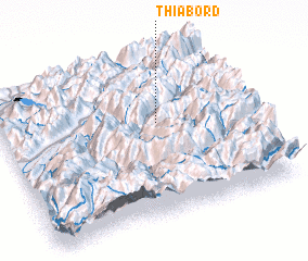 Places with similar names to Thiabord, France :: Disclaimer :: Information on this page comes without warranty of any kind |
||
|
Where is Thiabord? Elevation and coordinates ::
Latitude (lat): 45°35'0"N Longitude (lon): 6°38'0"E
Elevation (approx.): 2028m (map arrows pan, magnifying glasses zoom) |
||
|
Visiting Thiabord? Hotel/Accommodation ::
Book a hotel in Thiabord Travel Guide ::
Buy a travel guide for France rental cars ::
car rental offers GPS waypoint ::
download a GPX waypoint (PoI) of Thiabord for your GPS receiver
|
||