|
search place name
|
||
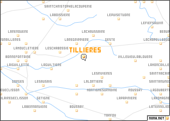
Tillières (Pays de la Loire, France)Tillières is a town in the Pays de la Loire region of France. An overview map of the region around Tillières is displayed below.
regional and 3d topo map of Tillières, France ::
Tillières airports ::
The nearest airport is CET - Cholet Le Pontreau, located 23.2 km east of Tillières.
Other airports nearby include NTE - Nantes Atlantique (33.7 km west), EDM - La Roche-sur-yon Les Ajoncs (52.4 km south), SNR - St.-nazaire Montoir (76.6 km west), LVA - Laval Entrammes (103.0 km north), Nearby towns ::
La Regrippière (3.9km north) //
Les Rivières (4.5km south east) //
Saint-Germain-sur-Moine (4.5km south east) //
Saint-Crespin-sur-Moine (5.7km south) //
La Lortière (5.7km south) //
Les Chabossières (4.2km north west) //
La Chaussaire (5.7km north) //
Gesté (5.3km north east) //
La Guiltière (5.4km west) //
LʼEscarpière (7.5km south) //
Montfaucon (6.7km south east) //
Montigné-sur-Moine (7.8km south) //
[all distances 'as the bird flies' and approximate] 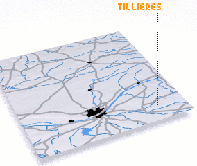 Places with similar names to Tillières, France ::
Disclaimer :: Information on this page comes without warranty of any kind |
||
|
Where is Tillières? Elevation and coordinates ::
Latitude (lat): 47°9'0"N Longitude (lon): 1°10'0"W
Elevation (approx.): 85m (map arrows pan, magnifying glasses zoom) |
||
|
Visiting Tillières? Hotel/Accommodation ::
Book a hotel in Tillières Travel Guide ::
Buy a travel guide for France rental cars ::
car rental offers GPS waypoint ::
download a GPX waypoint (PoI) of Tillières for your GPS receiver
|
||