|
search place name
|
||
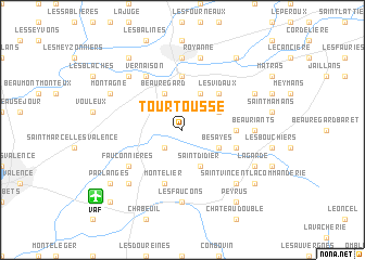
Tourtousse (Rhône-Alpes, France)Tourtousse is a town in the Rhône-Alpes region of France. An overview map of the region around Tourtousse is displayed below.
regional and 3d topo map of Tourtousse, France ::
Tourtousse airports ::
The nearest airport is VAF - Valence Chabeuil, located 9.3 km south west of Tourtousse.
Other airports nearby include GNB - Grenoble Saint Geoirs (47.6 km north east), OBS - Aubenas-vals-lanas Ardeche Meridionale (72.5 km south west), LYS - Lyon Saint Exupery (82.6 km north), LYN - Lyon Bron (83.1 km north), Nearby towns ::
Alixan (2.3km south west) //
Bésayes (3.2km south east) //
Saint-Didier (3.9km south) //
Chatuzange-le-Goubet (3.2km north east) //
Beauregard (3.9km north) //
Les Bayanins (3.9km north) //
Les Vidaux (4.5km north east) //
Marches (3.9km east) //
Bourg-de-Péage (5.6km north) //
Les Blaches (4.3km south east) //
Montélier (5.7km south) //
Fauconnières (5.4km south west) //
Vernaison (6.1km north west) //
Les Faucons (7.4km south) //
Romans-sur-Isère (7.4km north) //
Beauriants (5.2km east) //
Royanne (7.5km north) //
Charpey (6.8km south east) //
Les Poulains (6.8km south west) //
Les Granges (6.8km north west) //
La Garde (6.4km south east) //
Les Malossannes (6.4km north east) //
Montagne (6.4km north west) //
Peyrus (8.4km south east) //
Parlanges (7.6km south west) //
Saint-Vincent-la-Commanderie (7.6km south east) //
La Goubette (8.4km north west) //
Buissière (8.4km north east) //
Les Bérards (9.1km south west) //
[all distances 'as the bird flies' and approximate] 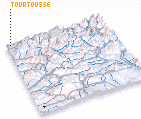 Places with similar names to Tourtousse, France ::
Disclaimer :: Information on this page comes without warranty of any kind |
||
|
Where is Tourtousse? Elevation and coordinates ::
Latitude (lat): 44°59'0"N Longitude (lon): 5°3'0"E
Elevation (approx.): 197m (map arrows pan, magnifying glasses zoom) |
||
|
Visiting Tourtousse? Hotel/Accommodation ::
Book a hotel in Tourtousse Travel Guide ::
Buy a travel guide for France rental cars ::
car rental offers GPS waypoint ::
download a GPX waypoint (PoI) of Tourtousse for your GPS receiver
|
||