|
search place name
|
||
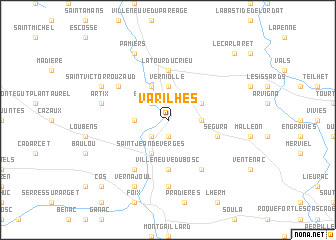
Varilhes (Midi-Pyrénées, France)Varilhes is a town in the Midi-Pyrénées region of France. An overview map of the region around Varilhes is displayed below.
regional and 3d topo map of Varilhes, France ::
Varilhes airports ::
The nearest airport is LRH - La Rochelle Lherm, located 53.5 km north west of Varilhes.
Other airports nearby include CCF - Carcassonne Salvaza (57.8 km east), TLS - Toulouse Blagnac (67.9 km north), DCM - Castres Mazamet (77.4 km north east), LEU - Seo De Urgel (81.1 km south), Nearby towns ::
Dalou (1.9km south) //
Crampagna (2.3km south west) //
Bénagues (2.3km north west) //
Rieux-de-Pelleport (2.7km west) //
Verniolle (3.7km north) //
Saint-Félix-de-Rieutort (2.7km east) //
Saint-Jean-de-Verges (3.9km south) //
Saint-Jean-du-Falga (3.9km north) //
Coussa (3.3km north east) //
Villeneuve-du-Bosc (5.6km south) //
La Tour-du-Crieu (5.6km north) //
Ségura (4.5km south east) //
Loubières (6.2km south west) //
Saint-Bauzeil (5.5km north west) //
Gudas (6.2km south east) //
Arabaux (7.4km south) //
Artix (5.7km west) //
Saint-Victor-Rouzaud (6.6km north west) //
Vernajoul (7.9km south) //
Pamiers (7.9km north) //
Cos (9.2km south west) //
Le Carlaret (9.2km north east) //
[all distances 'as the bird flies' and approximate] 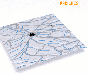 Places with similar names to Varilhes, France :: Disclaimer :: Information on this page comes without warranty of any kind |
||
|
Where is Varilhes? Elevation and coordinates ::
Latitude (lat): 43°3'0"N Longitude (lon): 1°38'0"E
Elevation (approx.): 327m (map arrows pan, magnifying glasses zoom) |
||
|
Visiting Varilhes? Hotel/Accommodation ::
Book a hotel in Varilhes Travel Guide ::
Buy a travel guide for France rental cars ::
car rental offers GPS waypoint ::
download a GPX waypoint (PoI) of Varilhes for your GPS receiver
|
||