|
search place name
|
||
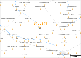
Vauvert (Centre, France)Vauvert is a town in the Centre region of France. An overview map of the region around Vauvert is displayed below.
regional and 3d topo map of Vauvert, France ::
Vauvert airports ::
The nearest airport is CHR - Chateauroux Deols, located 33.1 km south east of Vauvert.
Other airports nearby include TUF - Tours Val De Loire (67.8 km north west), BOU - Bourges (79.3 km east), PIS - Poitiers Biard (89.9 km south west), MCU - Montlucon-gueret Montlucon Gueret (115.7 km south east), Nearby towns ::
Palluau-sur-Indre (3.9km south) //
Meauregard (3.9km south) //
Saint-Genou (5.6km south) //
Vaux (4.2km south east) //
Villegouin (4.2km south east) //
Brêteau (6.1km south east) //
Préaux (5.3km north west) //
Onzay-Palluau (7.5km south) //
Hengnes (5.4km east) //
Villebernin (6.7km south west) //
Luchet (7.5km south west) //
Beaugerai (9.0km south west) //
La Coudre (9.0km south east) //
[all distances 'as the bird flies' and approximate] 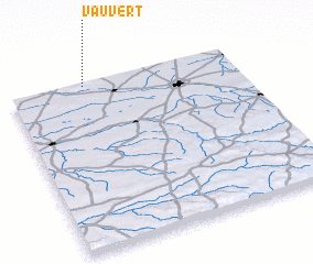 Places with similar names to Vauvert, France ::
Disclaimer :: Information on this page comes without warranty of any kind |
||
|
Where is Vauvert? Elevation and coordinates ::
Latitude (lat): 46°59'0"N Longitude (lon): 1°20'0"E
Elevation (approx.): 174m (map arrows pan, magnifying glasses zoom) |
||
|
Visiting Vauvert? Hotel/Accommodation ::
Book a hotel in Vauvert Travel Guide ::
Buy a travel guide for France rental cars ::
car rental offers GPS waypoint ::
download a GPX waypoint (PoI) of Vauvert for your GPS receiver
|
||