|
search place name
|
||
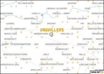
Vauvillers (Picardie, France)Vauvillers is a town in the Picardie region of France. An overview map of the region around Vauvillers is displayed below.
regional and 3d topo map of Vauvillers, France ::
Vauvillers airports ::
The nearest airport is BVA - Beauvais Tille, located 61.1 km south west of Vauvillers.
Other airports nearby include CSF - Creil (67.6 km south), LIL - Lille Lesquin (83.9 km north), CDG - Paris Charles De Gaulle (93.7 km south), POX - Pontoise Cormeilles En Vexin (96.4 km south west), Nearby towns ::
Framerville (1.9km north) //
Rainecourt (2.2km north east) //
Proyart (3.7km north) //
Harbonnières (2.4km west) //
Rosières-en-Santerre (3.9km south) //
Herleville (3.6km east) //
Chuignolles (6.1km north east) //
Morcourt (5.2km north west) //
Méricourt-sur-Somme (6.1km north west) //
Caix (5.2km south west) //
Méharicourt (6.1km south east) //
Guillaucourt (4.8km west) //
Vrély (7.5km south) //
Froissy (7.5km north) //
Bayonvillers (5.1km west) //
Chuignes (6.6km north east) //
Foucaucourt-en-Santerre (6.0km north east) //
Lihons (6.1km south east) //
Cérisy-Gailly (7.3km north west) //
Cappy (8.2km north east) //
Maucourt (8.2km south east) //
Chipilly (8.2km north west) //
Chilly (8.8km south east) //
[all distances 'as the bird flies' and approximate] 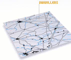 Places with similar names to Vauvillers, France ::
// Vauvillers (FR)
// Fauvillers (BE)
Disclaimer :: Information on this page comes without warranty of any kind |
||
|
Where is Vauvillers? Elevation and coordinates ::
Latitude (lat): 49°51'0"N Longitude (lon): 2°42'0"E
Elevation (approx.): 87m (map arrows pan, magnifying glasses zoom) |
||
|
Visiting Vauvillers? Hotel/Accommodation ::
Book a hotel in Vauvillers Travel Guide ::
Buy a travel guide for France rental cars ::
car rental offers GPS waypoint ::
download a GPX waypoint (PoI) of Vauvillers for your GPS receiver
|
||