|
search place name
|
||
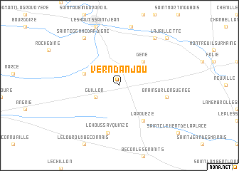
Vern-dʼAnjou (Pays de la Loire, France)Vern-dʼAnjou is a town in the Pays de la Loire region of France. An overview map of the region around Vern-dʼAnjou is displayed below.
regional and 3d topo map of Vern-dʼAnjou, France ::
Vern-dʼAnjou airports ::
The nearest airport is LVA - Laval Entrammes, located 48.4 km north of Vern-dʼAnjou.
Other airports nearby include CET - Cholet Le Pontreau (57.7 km south), NTE - Nantes Atlantique (76.9 km south west), RNS - Rennes St Jacques (85.3 km north west), LME - Le Mans Arnage (86.7 km north east), Nearby towns ::
Guillon (3.1km south west) //
Gené (4.5km north east) //
Chazé-sur-Argos (4.2km north west) //
La Pouëze (6.1km south east) //
Brain-sur-Longuenée (5.3km east) //
Le Houssay-Quinzé (7.5km south) //
Sainte-Gemme-dʼAndigné (8.3km north west) //
Andigné (8.3km north east) //
La Jaillette (8.9km north east) //
[all distances 'as the bird flies' and approximate] 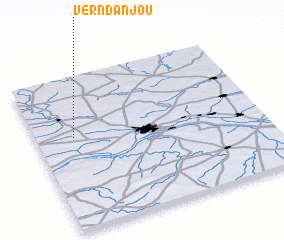 Places with similar names to Vern-dʼAnjou, France :: Disclaimer :: Information on this page comes without warranty of any kind |
||
|
Where is Vern-dʼAnjou? Elevation and coordinates ::
Latitude (lat): 47°36'0"N Longitude (lon): 0°50'0"W
Elevation (approx.): 48m (map arrows pan, magnifying glasses zoom) |
||
|
Visiting Vern-dʼAnjou? Hotel/Accommodation ::
Book a hotel in Vern-dʼAnjou Travel Guide ::
Buy a travel guide for France rental cars ::
car rental offers GPS waypoint ::
download a GPX waypoint (PoI) of Vern-dʼAnjou for your GPS receiver
|
||