|
search place name
|
||
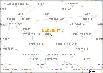
Versigny (Picardie, France)Versigny is a town in the Picardie region of France. An overview map of the region around Versigny is displayed below.
regional and 3d topo map of Versigny, France ::
Versigny airports ::
The nearest airport is CSF - Creil, located 19.4 km north west of Versigny.
Other airports nearby include CDG - Paris Charles De Gaulle (22.5 km south west), LBG - Paris Le Bourget (31.5 km south west), POX - Pontoise Cormeilles En Vexin (52.3 km west), BVA - Beauvais Tille (56.3 km north west), Nearby towns ::
Baron (1.2km west) //
Rosières (3.1km north east) //
Montagny-Sainte-Félicité (3.9km south) //
Fresnoy-le-Luat (5.7km north) //
Nanteuil-le-Haudouin (5.2km south east) //
Ermenonville (5.2km south west) //
Fontaine-Chaâlis (4.8km west) //
Montlognon (4.8km west) //
Rully (7.5km north) //
Le Plessis-Belleville (7.5km south) //
Auger-Saint-Vincent (6.6km north east) //
Montépilloy (6.6km north west) //
Silly-le-Long (8.3km south east) //
Ognes (8.9km south east) //
Ver-sur-Launette (8.9km south west) //
[all distances 'as the bird flies' and approximate] 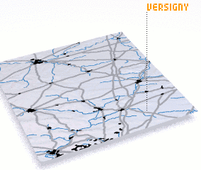 Places with similar names to Versigny, France ::
// Frischnau (DE)
// Fröschen (DE)
// Vrysákion (GR)
// Vercicani (RO)
// Phārasgaon (IN)
// Varazqān (IR)
// Varzaqān (IR)
// Varzeqān (IR)
// Frisco Uno (HN)
// Fréscano (ES)
Disclaimer :: Information on this page comes without warranty of any kind |
||
|
Where is Versigny? Elevation and coordinates ::
Latitude (lat): 49°10'0"N Longitude (lon): 2°45'0"E
Elevation (approx.): 80m (map arrows pan, magnifying glasses zoom) |
||
|
Visiting Versigny? Hotel/Accommodation ::
Book a hotel in Versigny Travel Guide ::
Buy a travel guide for France rental cars ::
car rental offers GPS waypoint ::
download a GPX waypoint (PoI) of Versigny for your GPS receiver
|
||