|
search place name
|
||
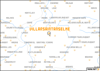
Villar-Saint-Anselme (Languedoc-Roussillon, France)Villar-Saint-Anselme is a town in the Languedoc-Roussillon region of France. An overview map of the region around Villar-Saint-Anselme is displayed below.
regional and 3d topo map of Villar-Saint-Anselme, France ::
Villar-Saint-Anselme airports ::
The nearest airport is CCF - Carcassonne Salvaza, located 16.6 km north of Villar-Saint-Anselme.
Other airports nearby include DCM - Castres Mazamet (54.4 km north), PGF - Perpignan Rivesaltes (58.0 km south east), BZR - Beziers Vias (89.0 km east), LRH - La Rochelle Lherm (95.5 km north west), Nearby towns ::
Gardie (0.0km north) //
Villebazy (1.4km east) //
Saint-Hilaire (3.7km north) //
Saint-Polycarpe (3.9km south) //
Verzeille (5.7km north) //
Rouffiac-dʼAude (5.7km north) //
Pomas (5.7km north) //
Ladern-sur-Lauquet (6.2km north east) //
Vendémies (6.2km south west) //
Belcastel-et-Buc (5.5km south east) //
Greffeil (5.7km east) //
Cépie (6.6km north west) //
Cournanel (6.6km south west) //
Villefloure (7.8km north east) //
Alet-les-Bains (8.5km south west) //
Missègre (8.5km south east) //
Montclar (9.2km north west) //
[all distances 'as the bird flies' and approximate] 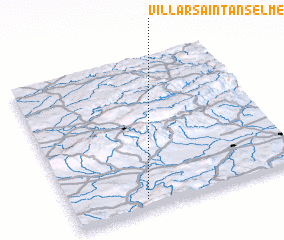 Places with similar names to Villar-Saint-Anselme, France :: Disclaimer :: Information on this page comes without warranty of any kind |
||
|
Where is Villar-Saint-Anselme? Elevation and coordinates ::
Latitude (lat): 43°4'0"N Longitude (lon): 2°19'0"E
Elevation (approx.): 215m (map arrows pan, magnifying glasses zoom) |
||
|
Visiting Villar-Saint-Anselme? Hotel/Accommodation ::
Book a hotel in Villar-Saint-Anselme Travel Guide ::
Buy a travel guide for France rental cars ::
car rental offers GPS waypoint ::
download a GPX waypoint (PoI) of Villar-Saint-Anselme for your GPS receiver
|
||