|
search place name
|
||
Villedieu (Provence-Alpes-Côte dʼAzur, France)Villedieu is a town in the Provence-Alpes-Côte dʼAzur region of France. An overview map of the region around Villedieu is displayed below.
regional and 3d topo map of Villedieu, France ::

Villedieu airports ::
The nearest airport is AVN - Avignon Caumont, located 43.1 km south of Villedieu.
Other airports nearby include OBS - Aubenas-vals-lanas Ardeche Meridionale (60.1 km north west), VAF - Valence Chabeuil (71.1 km north), FNI - Nimes Garons (76.6 km south west), QXB - Aix-les-milles Aix Les Milles (90.5 km south), Nearby towns ::
Saint-Maurice-sur-Eygues (2.3km north west) //
Buisson (2.7km west) //
Roaix (3.9km south) //
Les Hautes Granges (3.9km south) //
Vinsobres (6.2km north east) //
Vaison-la-Romaine (6.2km south east) //
Saint-Roman-de-Malegarde (5.6km west) //
Visan (5.6km west) //
Mirabel-aux-Baronnies (5.6km east) //
Rasteau (8.4km south west) //
Crestet (8.4km south east) //
Saint-Marcellin-lès-Vaison (7.7km south east) //
[all distances 'as the bird flies' and approximate] 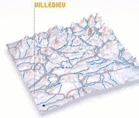 Places with similar names to Villedieu, France ::
Disclaimer :: Information on this page comes without warranty of any kind |
||
|
Where is Villedieu? Elevation and coordinates ::
Latitude (lat): 44°17'0"N Longitude (lon): 5°2'0"E
Elevation (approx.): 260m (map arrows pan, magnifying glasses zoom) |
||
|
Visiting Villedieu? Hotel/Accommodation ::
Book a hotel in Villedieu Travel Guide ::
Buy a travel guide for France rental cars ::
car rental offers GPS waypoint ::
download a GPX waypoint (PoI) of Villedieu for your GPS receiver
|
||