|
search place name
|
||
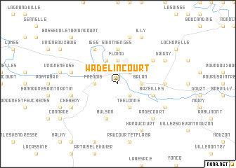
Wadelincourt (Champagne-Ardenne, France)Wadelincourt is a town in the Champagne-Ardenne region of France. An overview map of the region around Wadelincourt is displayed below.
regional and 3d topo map of Wadelincourt, France ::
Wadelincourt airports ::
The nearest airport is RHE - Reims Champagne, located 76.3 km south west of Wadelincourt.
Other airports nearby include LUX - Luxemburg Luxembourg (92.5 km east), CRL - Charleroi Brussels South (92.9 km north), MZM - Metz Frescaty (110.5 km south east), LGG - Liege (112.2 km north), Nearby towns ::
Pont-Maugis (2.2km south east) //
Noyers-Pont-Maugis (2.2km south east) //
Sedan (2.2km north east) //
Frénois (2.4km west) //
Floing (3.7km north) //
Balan (2.4km east) //
Thélonne (3.9km south) //
Glaire-et-Villette (3.9km north) //
Saint-Menges (5.6km north) //
Bazeilles (4.0km south east) //
Bulson (5.7km south) //
Iges (6.1km north west) //
Givonne (5.2km north east) //
La Moncelle (4.8km east) //
Cheveuges (5.1km west) //
Donchery (5.1km west) //
Fleigneux (7.5km north) //
Angecourt (6.6km south east) //
Chéhéry (6.1km south west) //
Haraucourt (7.8km south) //
Remilly-Aillicourt (6.1km south east) //
Daigny (6.1km north east) //
Illy (7.8km north) //
Bosséval-et-Briancourt (8.8km north west) //
[all distances 'as the bird flies' and approximate] 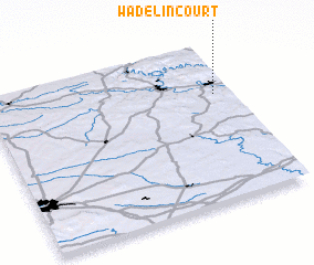 Places with similar names to Wadelincourt, France ::
// Wadelincourt (BE)
Disclaimer :: Information on this page comes without warranty of any kind |
||
|
Where is Wadelincourt? Elevation and coordinates ::
Latitude (lat): 49°41'0"N Longitude (lon): 4°56'0"E
Elevation (approx.): 161m (map arrows pan, magnifying glasses zoom) |
||
|
Visiting Wadelincourt? Hotel/Accommodation ::
Book a hotel in Wadelincourt Travel Guide ::
Buy a travel guide for France rental cars ::
car rental offers GPS waypoint ::
download a GPX waypoint (PoI) of Wadelincourt for your GPS receiver
|
||