|
search place name
|
||
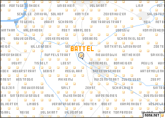
Battel (Antwerpen, Belgium)Battel is a town in the Antwerpen region of Belgium. An overview map of the region around Battel is displayed below.
regional and 3d topo map of Battel, Belgium ::
Battel airports ::
The nearest airport is ANR - Antwerp Deurne, located 15.5 km north of Battel.
Other airports nearby include BRU - Brussels Natl (Melsbroek) (16.7 km south), WOE - Woensdrecht (45.0 km north), CRL - Charleroi Brussels South (65.7 km south), EIN - Eindhoven (78.4 km north east), Nearby towns ::
Stuivenberg (1.9km south) //
Robbroek (1.9km south) //
Galgenberg (1.2km east) //
Blokhuis (1.2km east) //
Waranade (2.2km south west) //
Schonenberg (2.2km south east) //
Mechelen (2.2km south east) //
Walem (2.2km north east) //
Sennegat (2.2km north west) //
Battenbroek (2.2km north west) //
Hombeek (3.7km south) //
Hooiendonk (2.3km west) //
Bruinekruis (2.3km east) //
Ekelenhoek (2.3km east) //
Heffen (2.3km west) //
Lazarushoek (3.7km north) //
Regulaar (3.9km south) //
Pennepoel (3.0km south east) //
Leest (3.0km south west) //
Elzestraat (3.0km north east) //
Kleine Bergen (3.0km north west) //
Vosberg (3.9km north) //
Ekspoel (4.4km south west) //
Plein (4.4km south west) //
Heike (4.4km south west) //
Hanswijkenhoek (4.4km south east) //
Rumst (4.4km north west) //
Kruisweg (4.4km north east) //
Kleine Heide (3.5km west) //
[all distances 'as the bird flies' and approximate] 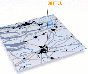 Places with similar names to Battel, Belgium ::
Disclaimer :: Information on this page comes without warranty of any kind |
||
|
Where is Battel? Elevation and coordinates ::
Latitude (lat): 51°3'0"N Longitude (lon): 4°27'0"E
Elevation (approx.): 6m (map arrows pan, magnifying glasses zoom) |
||
|
Visiting Battel? Hotel/Accommodation ::
Book a hotel in Battel Travel Guide ::
Buy a travel guide for Belgium rental cars ::
car rental offers GPS waypoint ::
download a GPX waypoint (PoI) of Battel for your GPS receiver
|
||