|
search place name
|
||
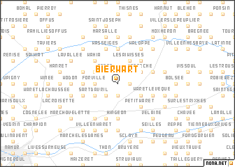
Bierwart (Namur, Belgium)Bierwart is a town in the Namur region of Belgium. An overview map of the region around Bierwart is displayed below.
regional and 3d topo map of Bierwart, Belgium ::
Bierwart airports ::
The nearest airport is LGG - Liege, located 31.2 km east of Bierwart.
Other airports nearby include CRL - Charleroi Brussels South (41.7 km west), BRU - Brussels Natl (Melsbroek) (52.9 km north west), MST - Maastricht (65.6 km north east), ANR - Antwerp Deurne (79.6 km north west), Nearby towns ::
Otreppe (1.2km east) //
Seressia (1.9km north) //
Gochenée (1.9km south) //
Seron (2.2km north west) //
Pontillas (2.2km south west) //
Forville (2.4km west) //
Hannêche (3.0km north east) //
Les Aiwisses (3.9km north) //
Halbosa (3.0km south east) //
Fontenel (3.0km north west) //
Sart dʼAvril (3.0km south west) //
Acosse (4.4km north east) //
Petit-Waret (4.4km south east) //
Wahia (4.4km north west) //
Hemptinne (4.4km north west) //
Hingeon (5.6km south) //
Bel Air (3.5km west) //
Meeffe (5.6km north) //
Burdinne (4.0km north east) //
Hambraine (4.0km north west) //
Bois dʼEvoz (5.7km south) //
Noville-les-Bois (4.0km south west) //
Waret-lʼÉvêque (4.0km south east) //
Le Tilleul (5.7km north) //
Wasseiges (5.7km north) //
Waloppe (6.0km north east) //
Franc-Waret (6.0km south west) //
Fond de Cône (7.4km north) //
Melroy (7.4km south) //
[all distances 'as the bird flies' and approximate] 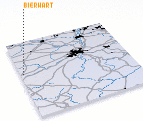 Places with similar names to Bierwart, Belgium ::
// Bārāwārda (IN)
Disclaimer :: Information on this page comes without warranty of any kind |
||
|
Where is Bierwart? Elevation and coordinates ::
Latitude (lat): 50°34'0"N Longitude (lon): 5°1'0"E
Elevation (approx.): 180m (map arrows pan, magnifying glasses zoom) |
||
|
Visiting Bierwart? Hotel/Accommodation ::
Book a hotel in Bierwart Travel Guide ::
Buy a travel guide for Belgium rental cars ::
car rental offers GPS waypoint ::
download a GPX waypoint (PoI) of Bierwart for your GPS receiver
|
||