|
search place name
|
||
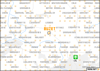
Buzet (Hainaut, Belgium)Buzet is a town in the Hainaut region of Belgium. An overview map of the region around Buzet is displayed below.
regional and 3d topo map of Buzet, Belgium ::
Buzet airports ::
The nearest airport is CRL - Charleroi Brussels South, located 10.3 km south east of Buzet.
Other airports nearby include BRU - Brussels Natl (Melsbroek) (41.8 km north), ANR - Antwerp Deurne (73.3 km north), LGG - Liege (77.1 km east), QKT - Kortrijk-vevelgem Wevelgem (88.0 km west), Nearby towns ::
Buscaille (0.0km north) //
Revioux (1.2km east) //
Andoumont (1.2km east) //
Commune (1.9km north) //
Obaix (1.2km west) //
Luttre (2.2km south east) //
Sart à Rèves (2.2km north east) //
Rèves (2.4km east) //
La Chaussée (3.7km south) //
Traulée (3.7km south) //
Les Bois (3.7km north) //
Baudoux (3.9km south) //
Wattimez (3.0km north east) //
Pont-à-Celles (3.9km south) //
Hairiamont (3.0km south west) //
Mailmont (3.0km south west) //
Bois de Nivelles (3.9km north) //
Le Hututu (3.9km north) //
LʼAulnois (4.4km south west) //
Rosseignies (3.5km west) //
Commune (3.5km east) //
Petits Sarts (5.6km south) //
Biernimont (4.0km south west) //
Larmoulin (5.7km south) //
Marais (4.0km north west) //
La Haute Rue (4.0km north west) //
Houtain le Mont (6.0km north east) //
Brunehault (5.1km south east) //
Liberchies (5.1km south east) //
[all distances 'as the bird flies' and approximate] 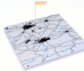 Places with similar names to Buzet, Belgium ::
Disclaimer :: Information on this page comes without warranty of any kind |
||
|
Where is Buzet? Elevation and coordinates ::
Latitude (lat): 50°32'0"N Longitude (lon): 4°22'0"E
Elevation (approx.): 134m (map arrows pan, magnifying glasses zoom) |
||
|
Visiting Buzet? Hotel/Accommodation ::
Book a hotel in Buzet Travel Guide ::
Buy a travel guide for Belgium rental cars ::
car rental offers GPS waypoint ::
download a GPX waypoint (PoI) of Buzet for your GPS receiver
|
||