|
search place name
|
||
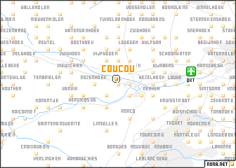
Coucou (West-Vlaanderen, Belgium)Coucou is a town in the West-Vlaanderen region of Belgium. An overview map of the region around Coucou is displayed below.
regional and 3d topo map of Coucou, Belgium ::
Coucou airports ::
The nearest airport is QKT - Kortrijk-vevelgem Wevelgem, located 7.6 km east of Coucou.
Other airports nearby include LIL - Lille Lesquin (26.5 km south), OST - Oostende (47.4 km north), CQF - Calais Dunkerque (82.6 km west), BRU - Brussels Natl (Melsbroek) (98.1 km east), Nearby towns ::
Komerenhoek (0.0km north) //
Menen (1.2km east) //
Basse Flandre (2.2km south west) //
Les Baraques (2.2km south east) //
Klijthoek (2.2km north east) //
Rozenhoek (2.3km west) //
Geluwe (2.3km west) //
Artoishoek (3.7km north) //
Kezelberg (3.7km north) //
Bousbecque (3.9km south) //
Halluin (3.0km south east) //
Klephoek (3.9km north) //
Panemolen (3.9km north) //
Vijfwegen (3.9km north) //
Dadizelehoek (3.9km north) //
Kommerestraat (3.9km north) //
Wezelhoek (3.5km east) //
Posthoornhoek (3.5km east) //
Kruishoek (3.5km east) //
Kanterhoek (5.6km north) //
Roncq (5.7km south) //
Rekkem (4.0km south east) //
Reke (4.0km south west) //
Herthoek (4.0km north east) //
Dadizele (5.7km north) //
Ledegem (5.7km north) //
Wervicq-Sud (5.1km south west) //
Moorsele (5.1km north east) //
Terhand (5.1km north west) //
[all distances 'as the bird flies' and approximate] 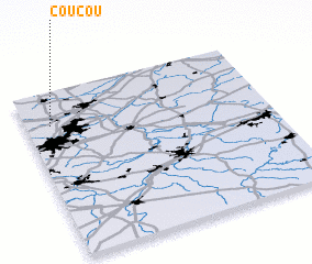 Places with similar names to Coucou, Belgium ::
Disclaimer :: Information on this page comes without warranty of any kind |
||
|
Where is Coucou? Elevation and coordinates ::
Latitude (lat): 50°48'0"N Longitude (lon): 3°6'0"E
Elevation (approx.): 18m (map arrows pan, magnifying glasses zoom) |
||
|
Visiting Coucou? Hotel/Accommodation ::
Book a hotel in Coucou Travel Guide ::
Buy a travel guide for Belgium rental cars ::
car rental offers GPS waypoint ::
download a GPX waypoint (PoI) of Coucou for your GPS receiver
|
||