|
search place name
|
||
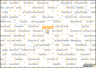
Demer (Antwerpen, Belgium)Demer is a town in the Antwerpen region of Belgium. An overview map of the region around Demer is displayed below.
regional and 3d topo map of Demer, Belgium ::
Demer airports ::
The nearest airport is BRU - Brussels Natl (Melsbroek), located 31.6 km south west of Demer.
Other airports nearby include ANR - Antwerp Deurne (34.3 km north west), EIN - Eindhoven (57.7 km north east), LGG - Liege (59.1 km south east), WOE - Woensdrecht (59.7 km north west), Nearby towns ::
Blijdenhoek (0.0km north) //
Molenvloet (1.2km west) //
Langdonken (1.2km west) //
Meren (1.9km south) //
Lange Bemden (1.9km south) //
Herselt (1.9km north) //
Molenberg (1.9km north) //
Varenwinkel (1.2km east) //
Gijmel (2.2km south west) //
Homberg (2.2km south west) //
Wevels (2.2km south west) //
Limberg (2.2km north west) //
Hogenweg (2.2km north west) //
Elsleukenweide (2.2km south east) //
Goorveld (2.2km south east) //
Venusberg (2.3km west) //
De Donk (3.7km south) //
Scharerijberg (3.7km south) //
Wolfsdonk (2.3km east) //
Truitseinde (3.0km south west) //
Goor (3.9km south) //
Langdorp (3.9km south) //
Den Hulst (3.9km south) //
Oudenstok (3.9km south) //
Asbroek (3.9km north) //
Snepken (3.9km north) //
Steenheuvels (3.0km south east) //
Het Steenbroek (3.0km south east) //
Elsleuken (3.0km south east) //
[all distances 'as the bird flies' and approximate] 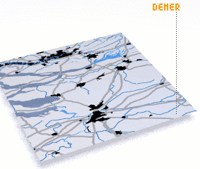 Places with similar names to Demer, Belgium ::
Disclaimer :: Information on this page comes without warranty of any kind |
||
|
Where is Demer? Elevation and coordinates ::
Latitude (lat): 51°2'0"N Longitude (lon): 4°53'0"E
Elevation (approx.): 15m (map arrows pan, magnifying glasses zoom) |
||
|
Visiting Demer? Hotel/Accommodation ::
Book a hotel in Demer Travel Guide ::
Buy a travel guide for Belgium rental cars ::
car rental offers GPS waypoint ::
download a GPX waypoint (PoI) of Demer for your GPS receiver
|
||