|
search place name
|
||
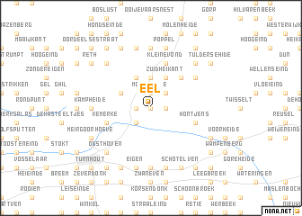
Eel (Antwerpen, Belgium)Eel is a town in the Antwerpen region of Belgium. An overview map of the region around Eel is displayed below.
regional and 3d topo map of Eel, Belgium ::
Eel airports ::
The nearest airport is EIN - Eindhoven, located 26.0 km east of Eel.
Other airports nearby include ANR - Antwerp Deurne (44.4 km south west), WOE - Woensdrecht (47.5 km west), BRU - Brussels Natl (Melsbroek) (65.3 km south west), MST - Maastricht (74.4 km south east), Nearby towns ::
Vooreel (0.0km north) //
Wildert (1.2km east) //
Klaverberg (1.2km east) //
Klein Ravels (1.2km west) //
Moleneinde (1.9km north) //
Gilseinde (2.2km south west) //
Ravels (2.2km south west) //
Katterijt (2.2km north east) //
De Straat (3.7km north) //
Noord Heikant (3.7km north) //
Meir (3.7km north) //
Molenheiken (3.9km north) //
Zuidheikant (3.9km north) //
Heibraek (3.9km north) //
Leemputten (3.0km north west) //
Weelde (3.9km north) //
Schoot (4.4km north east) //
Kemerke (3.9km south west) //
Hontjens (3.9km south east) //
Kleine Vond (5.7km north) //
Den Heesdijk (5.7km north) //
Grote Vond (5.7km north) //
Hegge (5.7km north) //
Overheide (5.1km north east) //
De Lint (7.4km south) //
Kamp Heide (4.6km west) //
Klotkuilheide (7.4km north) //
Hoekven (7.5km south) //
Brooiseinde (7.5km south) //
[all distances 'as the bird flies' and approximate] 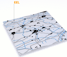 Places with similar names to Eel, Belgium ::
Disclaimer :: Information on this page comes without warranty of any kind |
||
|
Where is Eel? Elevation and coordinates ::
Latitude (lat): 51°23'0"N Longitude (lon): 5°1'0"E
Elevation (approx.): 28m (map arrows pan, magnifying glasses zoom) |
||
|
Visiting Eel? Hotel/Accommodation ::
Book a hotel in Eel Travel Guide ::
Buy a travel guide for Belgium rental cars ::
car rental offers GPS waypoint ::
download a GPX waypoint (PoI) of Eel for your GPS receiver
|
||