|
search place name
|
||
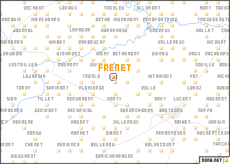
Frenet (Luxembourg, Belgium)Frenet is a town in the Luxembourg region of Belgium. An overview map of the region around Frenet is displayed below.
regional and 3d topo map of Frenet, Belgium ::
Frenet airports ::
The nearest airport is LUX - Luxemburg Luxembourg, located 62.8 km south east of Frenet.
Other airports nearby include LGG - Liege (66.7 km north), SPM - Spangdahlem Ab (76.4 km east), ZQF - Trier Fohren (85.4 km east), CRL - Charleroi Brussels South (95.6 km north west), Nearby towns ::
Givry (0.0km north) //
Flamizoulle (1.9km south) //
Rouette (1.2km east) //
Gives (1.9km north) //
Givroulle (2.2km north west) //
Cochleval (3.7km south) //
Monty (3.7km south) //
Salle (2.4km west) //
Tronle (2.4km west) //
Trois Monts (2.4km west) //
Wigny (3.9km north) //
Mande Saint-Étienne (3.9km south) //
Flamierge (3.0km south west) //
Béthomont (3.9km north) //
Champs (3.0km south east) //
Fays (3.0km north east) //
Millomont (4.4km south west) //
Viersin (4.4km north west) //
Au Caillou (4.4km north east) //
Bertogne (4.4km north east) //
Macravivier (3.6km west) //
Chenogne (5.7km south) //
Mousny (5.7km north) //
Foquelet (5.7km south) //
Rollé (4.0km south east) //
Hemroulle (5.1km south east) //
Rechimont (5.1km south west) //
Renuamont (5.1km south west) //
Hubermont (5.1km south west) //
[all distances 'as the bird flies' and approximate] 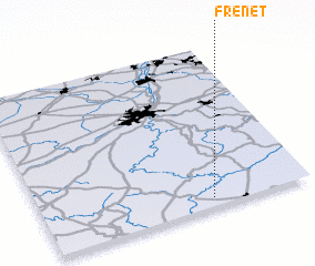 Places with similar names to Frenet, Belgium ::
Disclaimer :: Information on this page comes without warranty of any kind |
||
|
Where is Frenet? Elevation and coordinates ::
Latitude (lat): 50°3'0"N Longitude (lon): 5°38'0"E
Elevation (approx.): 423m (map arrows pan, magnifying glasses zoom) |
||
|
Visiting Frenet? Hotel/Accommodation ::
Book a hotel in Frenet Travel Guide ::
Buy a travel guide for Belgium rental cars ::
car rental offers GPS waypoint ::
download a GPX waypoint (PoI) of Frenet for your GPS receiver
|
||