|
search place name
|
||
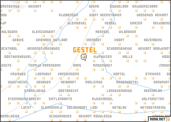
Gestel (Antwerpen, Belgium)Gestel is a town in the Antwerpen region of Belgium. An overview map of the region around Gestel is displayed below.
regional and 3d topo map of Gestel, Belgium ::
Gestel airports ::
The nearest airport is WOE - Woensdrecht, located 27.3 km west of Gestel.
Other airports nearby include ANR - Antwerp Deurne (33.1 km south west), EIN - Eindhoven (44.6 km east), BRU - Brussels Natl (Melsbroek) (61.7 km south), RTM - Rotterdam (61.8 km north), Nearby towns ::
Beek (1.2km east) //
Meer (1.9km north) //
Werkhoven (1.9km north) //
Aard (2.2km south west) //
Hogeneind (2.2km south east) //
Looi (2.2km north east) //
Aard en Hemelrijkseheide (3.7km south) //
Eindmeer (3.7km north) //
Vijfhuizen (2.3km east) //
Laboureursheide (3.9km south) //
Minderhout (3.0km south east) //
ʼt Withof (3.0km south east) //
Ipenrooy (3.9km north) //
Klein Looi (3.0km north east) //
Vorssingers (4.4km south west) //
Hoogstraten (4.4km south east) //
Goos Einde (4.4km north east) //
Castelre (3.5km east) //
Roeleinde (5.7km south) //
Herseling (5.1km south west) //
Bouwhoeve (5.1km south east) //
Heibaart (6.0km south west) //
Maaihoek (6.0km north east) //
Grootijssel (6.0km north east) //
Kleinijssel (6.0km north east) //
Meersel (6.0km north east) //
Het Laar (5.1km north west) //
Achtel (6.0km south east) //
Hazeldonk (7.4km north) //
[all distances 'as the bird flies' and approximate] 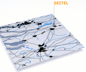 Places with similar names to Gestel, Belgium ::
Disclaimer :: Information on this page comes without warranty of any kind |
||
|
Where is Gestel? Elevation and coordinates ::
Latitude (lat): 51°26'0"N Longitude (lon): 4°44'0"E
Elevation (approx.): 11m (map arrows pan, magnifying glasses zoom) |
||
|
Visiting Gestel? Hotel/Accommodation ::
Book a hotel in Gestel Travel Guide ::
Buy a travel guide for Belgium rental cars ::
car rental offers GPS waypoint ::
download a GPX waypoint (PoI) of Gestel for your GPS receiver
|
||