|
search place name
|
||
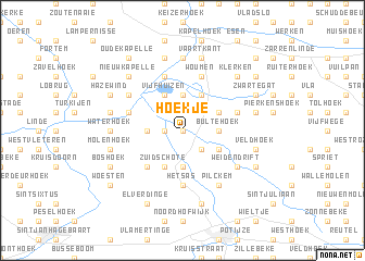
Hoekje (West-Vlaanderen, Belgium)Hoekje is a town in the West-Vlaanderen region of Belgium. An overview map of the region around Hoekje is displayed below.
regional and 3d topo map of Hoekje, Belgium ::
Hoekje airports ::
The nearest airport is OST - Oostende, located 27.7 km north of Hoekje.
Other airports nearby include QKT - Kortrijk-vevelgem Wevelgem (29.0 km south east), LIL - Lille Lesquin (46.4 km south), CQF - Calais Dunkerque (62.9 km west), LTQ - Le Tourquet Le Touquet Paris Plage (99.2 km south west), Nearby towns ::
Merkem (0.0km north) //
Poesel (1.2km west) //
Luigem (2.2km north west) //
Kippe (2.2km north east) //
Sint-Jan (2.2km south east) //
Lange Wade (2.2km south east) //
Bikschote (2.2km south east) //
Rille (3.7km north) //
Bultehoek (2.3km east) //
Ashoop (2.3km east) //
Noordschote (2.3km west) //
Drie Grachten (2.3km west) //
Steenstraat (3.7km south) //
Vijfhuizen (3.9km north) //
Ronehoek (3.9km north) //
Nieuwestede (3.0km north east) //
Draaibank (3.0km south east) //
Zuidschote (3.9km south) //
Luzerne (3.9km south) //
Pijpegale (4.4km south west) //
Het Sas (5.6km south) //
Boezinge (5.6km south) //
Serpenthoek (5.7km north) //
Woumen (5.7km north) //
Pallemaat (5.7km north) //
Nachtegaal (4.0km north east) //
Noordschotebroek (4.0km north west) //
Knokke (5.1km north west) //
Weidendrift (5.1km south east) //
[all distances 'as the bird flies' and approximate] 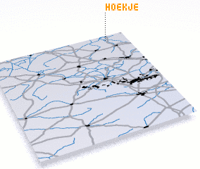 Places with similar names to Hoekje, Belgium ::
Disclaimer :: Information on this page comes without warranty of any kind |
||
|
Where is Hoekje? Elevation and coordinates ::
Latitude (lat): 50°57'0"N Longitude (lon): 2°51'0"E
(map arrows pan, magnifying glasses zoom) |
||
|
Visiting Hoekje? Hotel/Accommodation ::
Book a hotel in Hoekje Travel Guide ::
Buy a travel guide for Belgium rental cars ::
car rental offers GPS waypoint ::
download a GPX waypoint (PoI) of Hoekje for your GPS receiver
|
||