|
search place name
|
||
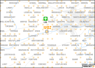
Ivoz (West-Vlaanderen, Belgium)Ivoz is a town in the West-Vlaanderen region of Belgium. An overview map of the region around Ivoz is displayed below.
regional and 3d topo map of Ivoz, Belgium ::
Ivoz airports ::
The nearest airport is LGG - Liege, located 6.0 km north of Ivoz.
Other airports nearby include MST - Maastricht (42.9 km north east), GKE - Geilenkirchen (59.2 km north east), CRL - Charleroi Brussels South (72.0 km west), BRU - Brussels Natl (Melsbroek) (76.8 km north west), Nearby towns ::
Les Thiers (0.0km north) //
Hoc (1.9km south) //
Le Trokay (1.2km west) //
Ramioulle (1.2km west) //
Ramet (1.2km west) //
Chaffours (1.9km north) //
Oneux (1.9km north) //
Trixhes (1.9km north) //
Champ des Oiseaux (2.2km south west) //
Rognac (2.2km south east) //
Flémalle-Haute (2.2km north east) //
Chokier (2.2km north west) //
Val Saint-Lambert (2.4km east) //
Basse Awirs (2.4km west) //
Engis (2.4km west) //
Souxhon (3.7km north) //
Boulboulle (3.7km north) //
Arbre Saint-Michel (3.7km north) //
Le Paradis (3.7km north) //
Seraing (3.0km north east) //
Flémalle-Grande (3.0km north east) //
Le Many (3.0km north east) //
Ehein (3.9km south) //
Profondval (3.9km north) //
Rognac (3.9km north) //
Les Cahottes (3.9km north) //
Rond Pery (3.9km north) //
Sainte-Barbe (4.4km south west) //
Magnery (4.4km south west) //
[all distances 'as the bird flies' and approximate] 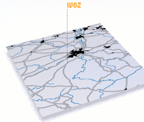 Places with similar names to Ivoz, Belgium ::
Disclaimer :: Information on this page comes without warranty of any kind |
||
|
Where is Ivoz? Elevation and coordinates ::
Latitude (lat): 50°35'0"N Longitude (lon): 5°27'0"E
Elevation (approx.): 95m (map arrows pan, magnifying glasses zoom) |
||
|
Visiting Ivoz? Hotel/Accommodation ::
Book a hotel in Ivoz Travel Guide ::
Buy a travel guide for Belgium rental cars ::
car rental offers GPS waypoint ::
download a GPX waypoint (PoI) of Ivoz for your GPS receiver
|
||