|
search place name
|
||
Kelegem (Brabant, Belgium)Kelegem is a town in the Brabant region of Belgium. An overview map of the region around Kelegem is displayed below.
regional and 3d topo map of Kelegem, Belgium ::

Kelegem airports ::
The nearest airport is BRU - Brussels Natl (Melsbroek), located 21.4 km east of Kelegem.
Other airports nearby include ANR - Antwerp Deurne (43.6 km north east), CRL - Charleroi Brussels South (45.3 km south east), WOE - Woensdrecht (69.2 km north), QKT - Kortrijk-vevelgem Wevelgem (70.2 km west), Nearby towns ::
Sint-Gertruide Pede (0.0km north) //
Kwade Wegen (1.9km south) //
IJsberg (1.2km east) //
Bettendries (1.2km east) //
Koeiken (1.2km east) //
Goudveerdegem (1.2km west) //
Koudenheerd (1.2km west) //
Spanuit (1.2km east) //
Schepdaal (1.2km west) //
Zierbeek (1.9km north) //
Planken (1.9km north) //
Bossuit (2.2km south west) //
Zibbeek (2.2km north east) //
Sint-Anna Pede (2.3km east) //
Ophalfen (3.7km north) //
Oosthoek (3.7km north) //
Sint-Martens-Bodegem (3.7km north) //
Westhoek (3.7km north) //
Begijnenborre (3.0km north east) //
Wambeek (3.0km north west) //
Snikberg (3.0km north east) //
Trontingen (3.9km south) //
Gaasbeek (3.9km south) //
Opbeek (3.9km south) //
Terlinden (3.9km north) //
Ternat (3.9km north) //
Vijverselen (4.4km south west) //
Vlezenbeek (4.4km south east) //
Tenbroek (4.4km north east) //
[all distances 'as the bird flies' and approximate] 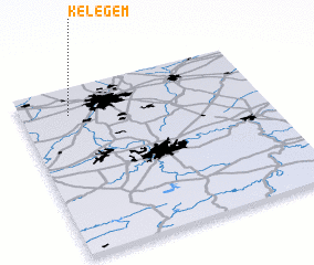 Places with similar names to Kelegem, Belgium ::
Disclaimer :: Information on this page comes without warranty of any kind |
||
|
Where is Kelegem? Elevation and coordinates ::
Latitude (lat): 50°50'0"N Longitude (lon): 4°12'0"E
Elevation (approx.): 72m (map arrows pan, magnifying glasses zoom) |
||
|
Visiting Kelegem? Hotel/Accommodation ::
Book a hotel in Kelegem Travel Guide ::
Buy a travel guide for Belgium rental cars ::
car rental offers GPS waypoint ::
download a GPX waypoint (PoI) of Kelegem for your GPS receiver
|
||