|
search place name
|
||
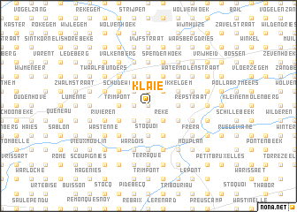
Klaie (Hainaut, Belgium)Klaie is a town in the Hainaut region of Belgium. An overview map of the region around Klaie is displayed below.
regional and 3d topo map of Klaie, Belgium ::
Klaie airports ::
The nearest airport is QKT - Kortrijk-vevelgem Wevelgem, located 42.3 km west of Klaie.
Other airports nearby include BRU - Brussels Natl (Melsbroek) (50.5 km east), LIL - Lille Lesquin (55.2 km south west), CRL - Charleroi Brussels South (57.5 km south east), ANR - Antwerp Deurne (66.0 km north east), Nearby towns ::
Plaatsbeke (0.0km north) //
Priem (0.0km north) //
Everbeek (0.0km north) //
Kalenberg (0.0km north) //
Koreele (0.0km north) //
Hollebeekstraat (1.9km north) //
Gelategem (1.9km north) //
Boshoek (1.9km north) //
Parike (1.9km north) //
Nieuwpoort (1.2km west) //
Chapelle (1.2km west) //
Boven Kwartier (1.2km west) //
Lobe (1.2km west) //
Nijveloot (1.2km west) //
Terbeken (1.2km west) //
Cloître (1.9km south) //
Spinele (1.9km south) //
Feite (2.2km north west) //
Breed Bijl (2.2km north east) //
Peperendaal (2.2km north west) //
Zarlardinge (2.2km south east) //
Hemelrijk (2.2km south west) //
Mon Passage (2.2km south east) //
Reke (2.2km south east) //
Stratendries (3.7km north) //
Trimpont (2.3km west) //
Steenplein (2.3km west) //
Steenberg (2.3km west) //
Maandag (2.3km west) //
[all distances 'as the bird flies' and approximate] 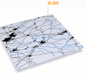 Places with similar names to Klaie, Belgium ::
Disclaimer :: Information on this page comes without warranty of any kind |
||
|
Where is Klaie? Elevation and coordinates ::
Latitude (lat): 50°46'0"N Longitude (lon): 3°48'0"E
Elevation (approx.): 44m (map arrows pan, magnifying glasses zoom) |
||
|
Visiting Klaie? Hotel/Accommodation ::
Book a hotel in Klaie Travel Guide ::
Buy a travel guide for Belgium rental cars ::
car rental offers GPS waypoint ::
download a GPX waypoint (PoI) of Klaie for your GPS receiver
|
||