|
search place name
|
||
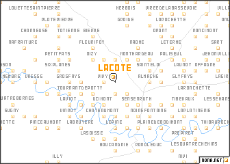
La Côte (Luxembourg, Belgium)La Côte is a town in the Luxembourg region of Belgium. An overview map of the region around La Côte is displayed below.
regional and 3d topo map of La Côte, Belgium ::
La Côte airports ::
The nearest airport is CRL - Charleroi Brussels South, located 78.5 km north west of La Côte.
Other airports nearby include LUX - Luxemburg Luxembourg (87.9 km east), LGG - Liege (90.2 km north), RHE - Reims Champagne (95.2 km south west), MZM - Metz Frescaty (118.2 km south east), Nearby towns ::
Vivy (1.2km west) //
Haule (1.9km south) //
Faysgeai (2.2km south east) //
Mogimont (2.2km south east) //
Bonne Femme (3.7km north) //
Baillamont (3.9km north) //
La Mohy (3.9km north) //
Le Rot (3.9km north) //
Laspèche (3.0km south west) //
Ucimont (3.9km south) //
La Rigonel (3.9km south) //
Château le Duc (3.9km south) //
Mont Hardeau (4.4km north east) //
Oizy (4.4km north west) //
Carlsbourg (4.4km north east) //
Merleux Han (4.4km south west) //
Sensenruth (4.4km south east) //
Almache (3.6km east) //
Cornimont (3.6km west) //
Botassart (5.6km south) //
Saint-Éloi (4.0km north east) //
Tournant de Potty (4.0km south west) //
Rochehaut (4.0km south west) //
Curfox (5.7km south) //
Châteaumont (5.7km south) //
Le Banc (5.7km south) //
Merny (5.2km north east) //
Naomé (6.1km north east) //
Fleurifoy (6.1km north west) //
[all distances 'as the bird flies' and approximate] 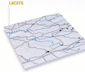 Places with similar names to La Côte, Belgium ::
Disclaimer :: Information on this page comes without warranty of any kind |
||
|
Where is La Côte? Elevation and coordinates ::
Latitude (lat): 49°52'0"N Longitude (lon): 5°3'0"E
Elevation (approx.): 409m (map arrows pan, magnifying glasses zoom) |
||
|
Visiting La Côte? Hotel/Accommodation ::
Book a hotel in La Côte Travel Guide ::
Buy a travel guide for Belgium rental cars ::
car rental offers GPS waypoint ::
download a GPX waypoint (PoI) of La Côte for your GPS receiver
|
||