|
search place name
|
||
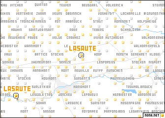
La Saute (Liège, Belgium)La Saute is a town in the Liège region of Belgium. An overview map of the region around La Saute is displayed below.
regional and 3d topo map of La Saute, Belgium ::
La Saute airports ::
The nearest airport is MST - Maastricht, located 30.5 km north of La Saute.
Other airports nearby include LGG - Liege (32.3 km west), GKE - Geilenkirchen (36.0 km north), MGL - Moenchengladbach Monchengladbach (77.3 km north east), CGN - Cologne Koln Bonn (90.9 km east), Nearby towns ::
Lohirville (0.0km north) //
Quatre Chemins (0.0km north) //
La Baraque (1.2km west) //
Champ de Wooz (1.9km south) //
Wooz (1.9km south) //
Villers (2.2km south east) //
Hochelbach (2.2km north east) //
Trou-du-Bois (2.2km south west) //
Les Biolles (2.2km north west) //
Xhénorie (2.2km south west) //
Neuville (3.7km south) //
Les Croisiers (3.7km south) //
Hoof (2.4km east) //
Thimister (2.4km west) //
Clisore (3.9km south) //
Andrimont (3.9km south) //
Bilstain (3.9km south) //
Henri-Chapelle (3.0km north east) //
Clermont (3.0km north west) //
Les Plenesses (3.0km south west) //
Sérezé (3.0km south west) //
Houlteau (3.0km south west) //
La Vlamerie (3.9km north) //
Birven (3.9km north) //
Crawhez (3.9km north) //
Ruyff (4.4km south east) //
Dolhain (4.4km south east) //
Limbourg (4.4km south east) //
Les Heids (4.4km south west) //
[all distances 'as the bird flies' and approximate] 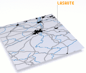 Places with similar names to La Saute, Belgium ::
Disclaimer :: Information on this page comes without warranty of any kind |
||
|
Where is La Saute? Elevation and coordinates ::
Latitude (lat): 50°39'0"N Longitude (lon): 5°54'0"E
Elevation (approx.): 299m (map arrows pan, magnifying glasses zoom) |
||
|
Visiting La Saute? Hotel/Accommodation ::
Book a hotel in La Saute Travel Guide ::
Buy a travel guide for Belgium rental cars ::
car rental offers GPS waypoint ::
download a GPX waypoint (PoI) of La Saute for your GPS receiver
|
||