|
search place name
|
||
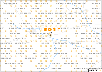
Linkhout (Limburg, Belgium)Linkhout is a town in the Limburg region of Belgium. An overview map of the region around Linkhout is displayed below.
regional and 3d topo map of Linkhout, Belgium ::
Linkhout airports ::
The nearest airport is LGG - Liege, located 43.3 km south east of Linkhout.
Other airports nearby include BRU - Brussels Natl (Melsbroek) (45.0 km west), MST - Maastricht (46.3 km east), ANR - Antwerp Deurne (52.3 km north west), EIN - Eindhoven (56.7 km north), Nearby towns ::
Kampbergen (0.0km north) //
Halensbroek (1.9km south) //
Zittaard (1.9km south) //
Zelk (1.2km west) //
Schans (1.2km west) //
Goeslaar (2.2km north east) //
Waterkant (2.2km south east) //
Roier Broek (2.2km south east) //
Halen (2.2km south west) //
Heze (3.7km north) //
Bakel (3.7km north) //
Donk (3.7km south) //
Bloemendaal (3.7km south) //
Kolenberg (2.3km west) //
Willekensberg (3.0km north east) //
Goeren (3.0km north east) //
Meldert (3.9km north) //
Herkerbroek (3.0km south east) //
Poterijbroek (3.0km south east) //
Heze (3.9km north) //
Zelem (3.0km north west) //
Gennep (3.0km north west) //
Velpen (3.9km south) //
IJzerveld (3.0km south west) //
Liebroek (3.0km south west) //
Mellar (4.4km north east) //
Dikke Eik (4.4km north east) //
Geenrode (4.4km north east) //
Bommer (4.4km south east) //
[all distances 'as the bird flies' and approximate] 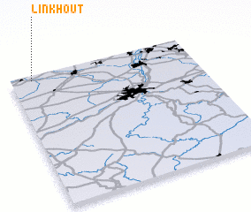 Places with similar names to Linkhout, Belgium ::
Disclaimer :: Information on this page comes without warranty of any kind |
||
|
Where is Linkhout? Elevation and coordinates ::
Latitude (lat): 50°58'0"N Longitude (lon): 5°7'0"E
Elevation (approx.): 24m (map arrows pan, magnifying glasses zoom) |
||
|
Visiting Linkhout? Hotel/Accommodation ::
Book a hotel in Linkhout Travel Guide ::
Buy a travel guide for Belgium rental cars ::
car rental offers GPS waypoint ::
download a GPX waypoint (PoI) of Linkhout for your GPS receiver
|
||