|
search place name
|
||
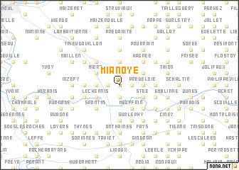
Mianoye (Namur, Belgium)Mianoye is a town in the Namur region of Belgium. An overview map of the region around Mianoye is displayed below.
regional and 3d topo map of Mianoye, Belgium ::
Mianoye airports ::
The nearest airport is CRL - Charleroi Brussels South, located 43.0 km west of Mianoye.
Other airports nearby include LGG - Liege (43.2 km north east), BRU - Brussels Natl (Melsbroek) (72.6 km north west), MST - Maastricht (81.4 km north east), GKE - Geilenkirchen (98.5 km north east), Nearby towns ::
Fond des Tailles (0.0km north) //
Lez Fontaines (0.0km north) //
Le Hameau (1.2km west) //
Le Cahoti (1.2km west) //
Commogne (1.2km east) //
Vincon (1.9km south) //
La Fagne (1.9km north) //
Bouchaille (1.9km north) //
Assesse (2.2km north west) //
Sorinne-la-Longue (3.7km north) //
Herbefays (2.4km west) //
Pré de lʼOie (2.4km east) //
Francesse (2.4km east) //
Mière (3.0km north west) //
Le Chennis (3.0km south west) //
Mouffrin (3.9km south) //
Stée (3.0km south east) //
Florée (3.0km north east) //
Natoye (3.0km south east) //
Corioule (4.4km north west) //
Spontin (4.4km south west) //
Wagnée (4.4km north east) //
Braibant (4.4km south east) //
Les Forges (5.6km north) //
Bethléem (5.6km north) //
Houyemont (3.5km west) //
Maibelle (3.5km east) //
Senenne (5.6km south) //
Sovet (5.6km south) //
[all distances 'as the bird flies' and approximate] 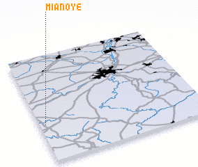 Places with similar names to Mianoye, Belgium ::
Disclaimer :: Information on this page comes without warranty of any kind |
||
|
Where is Mianoye? Elevation and coordinates ::
Latitude (lat): 50°21'0"N Longitude (lon): 5°2'0"E
Elevation (approx.): 287m (map arrows pan, magnifying glasses zoom) |
||
|
Visiting Mianoye? Hotel/Accommodation ::
Book a hotel in Mianoye Travel Guide ::
Buy a travel guide for Belgium rental cars ::
car rental offers GPS waypoint ::
download a GPX waypoint (PoI) of Mianoye for your GPS receiver
|
||