|
search place name
|
||
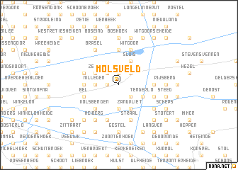
Molsveld (Antwerpen, Belgium)Molsveld is a town in the Antwerpen region of Belgium. An overview map of the region around Molsveld is displayed below.
regional and 3d topo map of Molsveld, Belgium ::
Molsveld airports ::
The nearest airport is EIN - Eindhoven, located 34.7 km north east of Molsveld.
Other airports nearby include ANR - Antwerp Deurne (45.9 km west), BRU - Brussels Natl (Melsbroek) (54.3 km south west), MST - Maastricht (54.9 km south east), WOE - Woensdrecht (61.6 km north west), Nearby towns ::
Mol (1.2km west) //
Galbergen (1.9km north) //
Heissehuizen (2.2km south east) //
Rosselaar (2.2km south east) //
Ginderbuiten (2.2km north east) //
Achterbos (2.2km north west) //
Hulzen (3.7km south) //
Grees (3.7km south) //
Hofstede (2.3km west) //
Ezaart (2.3km west) //
Millegem (2.3km west) //
Balen (3.0km south east) //
Tenderlo (3.0km south east) //
Zandvliet (3.9km south) //
Het End (3.9km south) //
Sluis (3.9km north) //
Zelm (3.0km north west) //
Bleken (3.0km north west) //
Volsbergen (4.4km south west) //
Donk (5.6km north) //
Dessel (5.6km north) //
Haag (3.5km west) //
Hoogeind (3.5km west) //
Hessie (3.5km west) //
Gompel (3.5km east) //
Witgoor (5.7km north) //
Bel (3.9km south west) //
Holven (3.9km south east) //
Reit (3.9km south east) //
[all distances 'as the bird flies' and approximate] 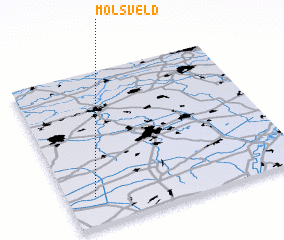 Places with similar names to Molsveld, Belgium ::
// Millsfield (US)
// Malsfeld (DE)
Disclaimer :: Information on this page comes without warranty of any kind |
||
|
Where is Molsveld? Elevation and coordinates ::
Latitude (lat): 51°11'0"N Longitude (lon): 5°7'0"E
Elevation (approx.): 25m (map arrows pan, magnifying glasses zoom) |
||
|
Visiting Molsveld? Hotel/Accommodation ::
Book a hotel in Molsveld Travel Guide ::
Buy a travel guide for Belgium rental cars ::
car rental offers GPS waypoint ::
download a GPX waypoint (PoI) of Molsveld for your GPS receiver
|
||