|
search place name
|
||
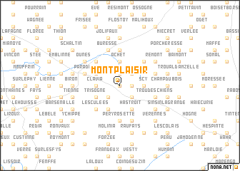
Montplaisir (Namur, Belgium)Montplaisir is a town in the Namur region of Belgium. An overview map of the region around Montplaisir is displayed below.
regional and 3d topo map of Montplaisir, Belgium ::
Montplaisir airports ::
The nearest airport is LGG - Liege, located 41.8 km north east of Montplaisir.
Other airports nearby include CRL - Charleroi Brussels South (54.8 km west), MST - Maastricht (79.7 km north east), BRU - Brussels Natl (Melsbroek) (83.2 km north west), GKE - Geilenkirchen (95.4 km north east), Nearby towns ::
Fevie (0.0km north) //
Chevenia (1.2km east) //
Fossé des Loups (1.2km east) //
Mohiville (1.9km north) //
Brûlée Haie (1.9km north) //
Scoville (1.9km north) //
Pessoux (2.2km south west) //
Jannée (2.2km south east) //
Haie Jacquette (2.2km north east) //
Clavia (2.4km west) //
Achet (3.7km north) //
Scy (2.4km east) //
Les Quatre Bonnirs (2.4km east) //
Gros Tienne (3.9km south) //
Cul de Balleux (3.9km south) //
Hastroit (3.9km south) //
Trisogne (3.0km south west) //
Bichoit (3.0km south west) //
Plantis du Tige (3.0km north west) //
Monin (3.0km north west) //
Les Culées (4.4km south west) //
Hubinne (4.4km north west) //
Alvaux (4.4km north west) //
Quatre Verges (4.4km north east) //
Pery Rosette (5.6km south) //
Haid (5.6km south) //
Philippeville (5.6km north) //
Buresse (5.7km north) //
Haversin (5.7km south) //
[all distances 'as the bird flies' and approximate] 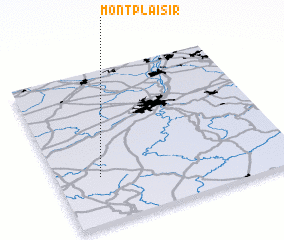 Places with similar names to Montplaisir, Belgium ::
Disclaimer :: Information on this page comes without warranty of any kind |
||
|
Where is Montplaisir? Elevation and coordinates ::
Latitude (lat): 50°18'0"N Longitude (lon): 5°11'0"E
Elevation (approx.): 334m (map arrows pan, magnifying glasses zoom) |
||
|
Visiting Montplaisir? Hotel/Accommodation ::
Book a hotel in Montplaisir Travel Guide ::
Buy a travel guide for Belgium rental cars ::
car rental offers GPS waypoint ::
download a GPX waypoint (PoI) of Montplaisir for your GPS receiver
|
||