|
search place name
|
||
Nodebais (Brabant, Belgium)Nodebais is a town in the Brabant region of Belgium. An overview map of the region around Nodebais is displayed below.
regional and 3d topo map of Nodebais, Belgium ::

Nodebais airports ::
The nearest airport is BRU - Brussels Natl (Melsbroek), located 23.1 km north west of Nodebais.
Other airports nearby include CRL - Charleroi Brussels South (39.5 km south west), ANR - Antwerp Deurne (50.8 km north), LGG - Liege (52.2 km east), MST - Maastricht (74.8 km east), Nearby towns ::
Gottechain (1.2km west) //
Chabut (1.2km west) //
Hamme-Mille (2.2km north west) //
Tourinnes-la-Grosse (2.2km north east) //
Le Culot (2.2km north east) //
La Baraque (2.2km south east) //
Keiberg (3.7km north) //
Bossut-Gottechain (2.3km west) //
Sart (3.7km south) //
Mille (3.9km north) //
Beauvechain (3.0km north east) //
Long Tienne (3.9km south) //
Cocrou Biez (3.9km south) //
Piétrebais (3.9km south) //
Chapelle-Saint-Laurent (3.9km south) //
La Misère (4.4km north east) //
Grez-Doiceau (4.4km south west) //
Biez (4.4km south west) //
La Rosée (5.6km north) //
Le Culot (3.5km east) //
Nethen (4.0km north west) //
Les Burettes (4.0km north east) //
Hèze (5.7km south) //
Lambais (4.0km south west) //
Culo (5.1km north east) //
La Plaine (6.0km north west) //
Morsaint (6.0km south west) //
Bas Bonlez (6.0km south west) //
Mollendaal (6.0km north east) //
[all distances 'as the bird flies' and approximate] 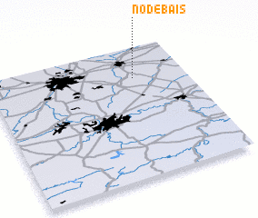 Places with similar names to Nodebais, Belgium ::
Disclaimer :: Information on this page comes without warranty of any kind |
||
|
Where is Nodebais? Elevation and coordinates ::
Latitude (lat): 50°46'0"N Longitude (lon): 4°44'0"E
Elevation (approx.): 81m (map arrows pan, magnifying glasses zoom) |
||
|
Visiting Nodebais? Hotel/Accommodation ::
Book a hotel in Nodebais Travel Guide ::
Buy a travel guide for Belgium rental cars ::
car rental offers GPS waypoint ::
download a GPX waypoint (PoI) of Nodebais for your GPS receiver
|
||